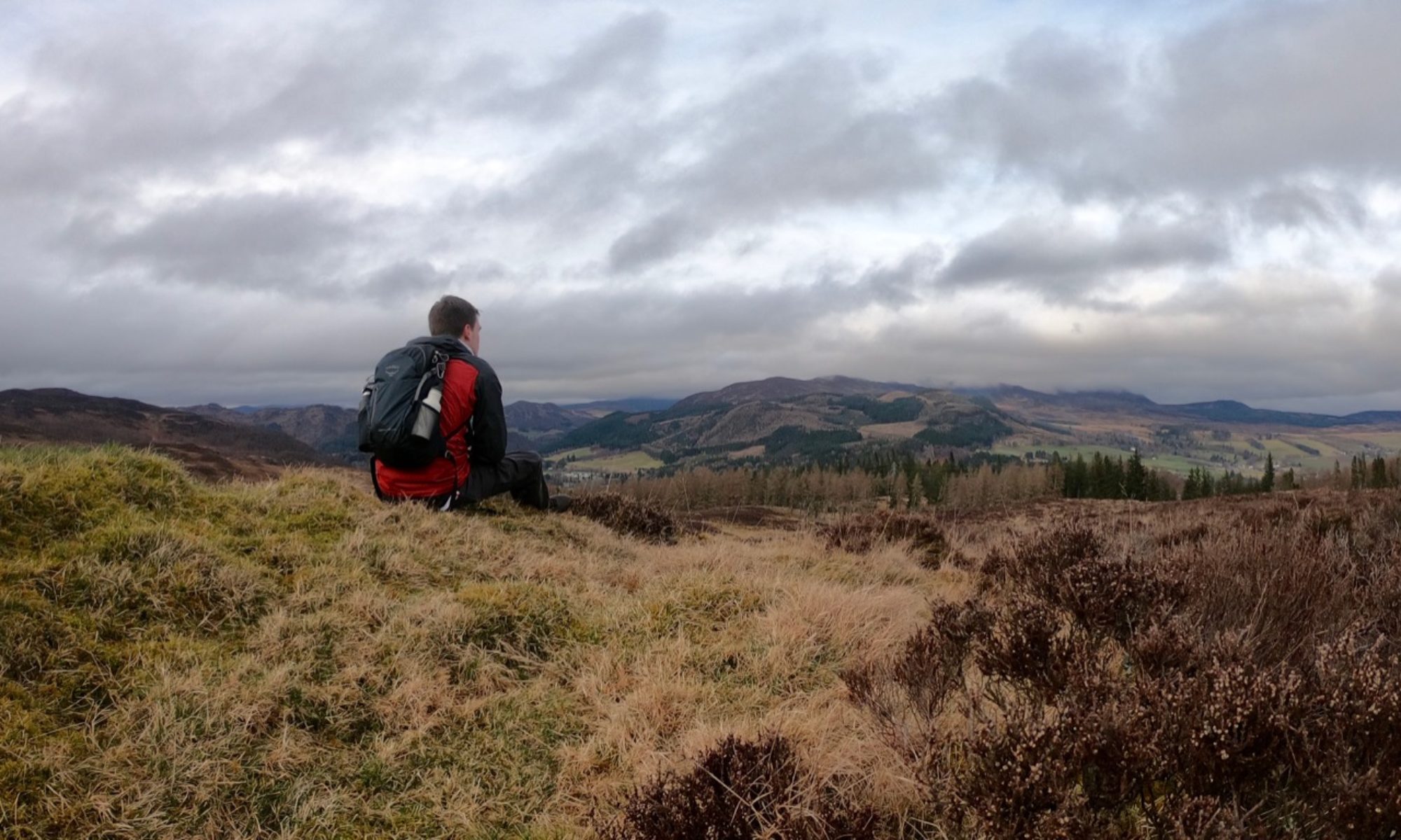

Visiting the Red Moss, Black Springs, and Green Cleugh, this walk takes in some of the most colourfully named places in the Pentlands.
Distance: 5 ½ miles (9 km)
Start and Finish: Threipmuir Reservoir, near Balerno (NT 16770 63795); alternatively Harlaw Reservoir (NT 18175 65490)
Conditions: Mostly flat with the exception of the stretch along Black Hill. Generally good paths, but the hillside can be particularly boggy after wet weather.
Access: Bus 44 from Edinburgh terminates at Balerno, leaving around 2km to the start of the walk.
This walk starts from the car park at Threipmuir reservoir (NT 16770 63795), roughly 2km south of Balerno. You also have the option of starting from Harlaw reservoir (NT 18175 65490) and joining the walk from there.
Whether you arrive at Threipmuir by foot or by car, you’ll pass the Red Moss of Balerno. This is a peat bog, and is around 6m deep in places. Home to many insects and other types of wildlife, the moss is designated a nature reserve in the care of the Scottish Wildlife Trust.

At the rear of the car park, join a track signed for Threipmuir and Harlaw Reservoirs. When the track bends to the left, pass through the gate in front of you and follow the path down to the reservoir. You’ll pass through a kissing gate before you reach the water’s edge (NT 17170 63905).
Threipmuir reservoir was built by the Edinburgh Water Company between 1843-1848, and was intended to supply water to the mills at Balerno. The mills vanished long ago, and the reservoir is now owned by the City of Edinburgh council. It forms part of the Water of Leith flood prevention scheme by slowing the speed at which water from the many burns and streams enters the Water of Leith.

Bear left, and follow the path along the northern shore of the reservoir. When you reach the dam (NT 17620 64415), take the path on your left which leads away from the dam. Through the trees on your right lies Harlaw reservoir. Continue on this path for around 1km, crossing the dam via a wooden footbridge, and you will arrive outside the Harlaw ranger centre (NT 18105 65230).
Like Threipmuir, Harlaw Reservoir was built in the 1840s to power the local mills. It was built to dam the Bavelaw Burn and to control the flow of water, allowing water to build up during the winter months for use during the summer – a little bit like a very large battery.

Walkers starting at Harlaw should join the route here. Follow the path along the edge of the trees. Shortly after crossing a wooden footbridge over a burn, you’ll reach a stone stile at a signpost for Black Springs (NT 18460 64860). Cross the wall here then follow the path to arrive at a gate in a fence, after which the path continues through a small wooded area.
The path here is fairly level, but depends sharply to arrive at a gate leading to the shore of Threipmuir’s eastern arm. This area is Black Springs, named for the many small streams that emerge from nearby Black Hill, and was historically also known as the Rumbling Well. This part of the reservoir is surprisingly exposed to the elements, and can have a chilly wind even on a pleasant day.

Follow the path along the edge of the reservoir, bearing left to cross the dam to reach a small stone building (NT 18735 64120). This is a cistern, which was built to collect the water from the nearby springs. Now on the southern shore of Threipmuir, take the path to the right of the cistern, climbing uphill next to the drystone dyke.

The path continues along the side of Black Hill for a little under 2km, and can be very muddy after wet weather. Black refers to the thick dark heather that covers the hill. It was sometimes referred to as Loganhouse Black Hill or West Black Hill, to differentiate it from nearby South Black Hill.

Shortly after crossing a fence at wooden stile, you’ll reach a fork in the path (NT 17965 62630). Bear right, taking the path closest to the stone wall, to descend to the floor of Green Cleugh. Pass through the gate on your right, and follow the path through the valley.

After a little more than 1km, you’ll emerge from Green Cleugh near Bavelaw Castle. A house has stood here for many centuries, and was used as a hunting lodge by both Mary Queen of Scots and her son James VI. Much of the current house dates to the first half of the 20th Century. Follow the path through a gate in the wall to the left of the house to join a tree-lined road (NT 16640 62695).

Follow the road downhill, bearing right at a junction, to reach Redford Bridge (NT 16405 63420). This crosses Bavelaw Marsh, a nature reserve at the western end of Threipmuir reservoir, that is connected to the Red Moss.

A short distance after the bridge, turn right and follow a path through the trees (NT 16475 63715). You’ll soon arrive back at the path at the end of the car park. For those continuing to Harlaw, continue straight ahead and follow the route as described at the beginning of the walk.