
Follow in the footsteps of a secret agent, a medieval monk and Mesolithic hunter gatherers in this walk along a Victorian railway line in the Scottish Borders.
Broughton is a small village, nestled on the edge of the hills near the confluence of the Biggar Water with the River Tweed. Most of the village is concentrated around a single Main Street, where this walk starts, but the ruined church dedicated to a medieval monk sits on higher ground – find out more at the end of the walk.
Route Information
Distance: 8.5km (5 ¼ miles)
Start and Finish: Broughton Village Hall (NT 11217 36733)
Finish: Biggar High Street (NT 03890 37600)
Terrain: Level but muddy ground which can be quite wet in inclement weather.
Access: Bus 91 between Peebles and Biggar stops at Broughton, allowing for a return journey by public transport.
Parking: Some parking available at Broughton village hall (ML12 6GB).
The Walk
From Broughton Village Hall (NT 11217 36733), follow the main road south through the village and towards the river.
As you walk through the village, you’ll pass Broughton Green, a whitewashed Victorian house that was the family home of the author John Buchan. Buchan spent many a holiday in Broughton, where the local landscape inspired him to write his most famous work: The 39 Steps. The John Buchan Way, named after the author, is a 22 km (14 mile) walk that crosses the hills from here to Peebles.
Just before the road crosses the river, turn right at a sign for “Biggar by disused railway” onto the road to the Broughton Ales brewery. Founded in 1979, it was one of Scotland’s earliest craft breweries. As you reach the brewery buildings, a foot bridge on your left leads you across the Biggar Water.

On the opposite bank, turn right to pass a builder’s yard with an appropriately placed railway signal. Near here, sheep were offloaded from railway wagons and taken the short distance from the trains via a bridge that once spanned the river. Their destination was where the slaughterhouse, where the brewery now stands.
Pass the railway signal to join a broad, grassy path which was the former track bed of the old railway.
The Symington, Biggar and Broughton Railway opened in the 1860s to connect Biggar with the Caledonian Railway line at Symington and the North British Railway line near Peeebles. The much hoped for passenger traffic never arrived, and the last passenger train ran on the line in the 1950s. It closed for good on 4 April 1966, a little over 100 years since the first trains travelled along the line.

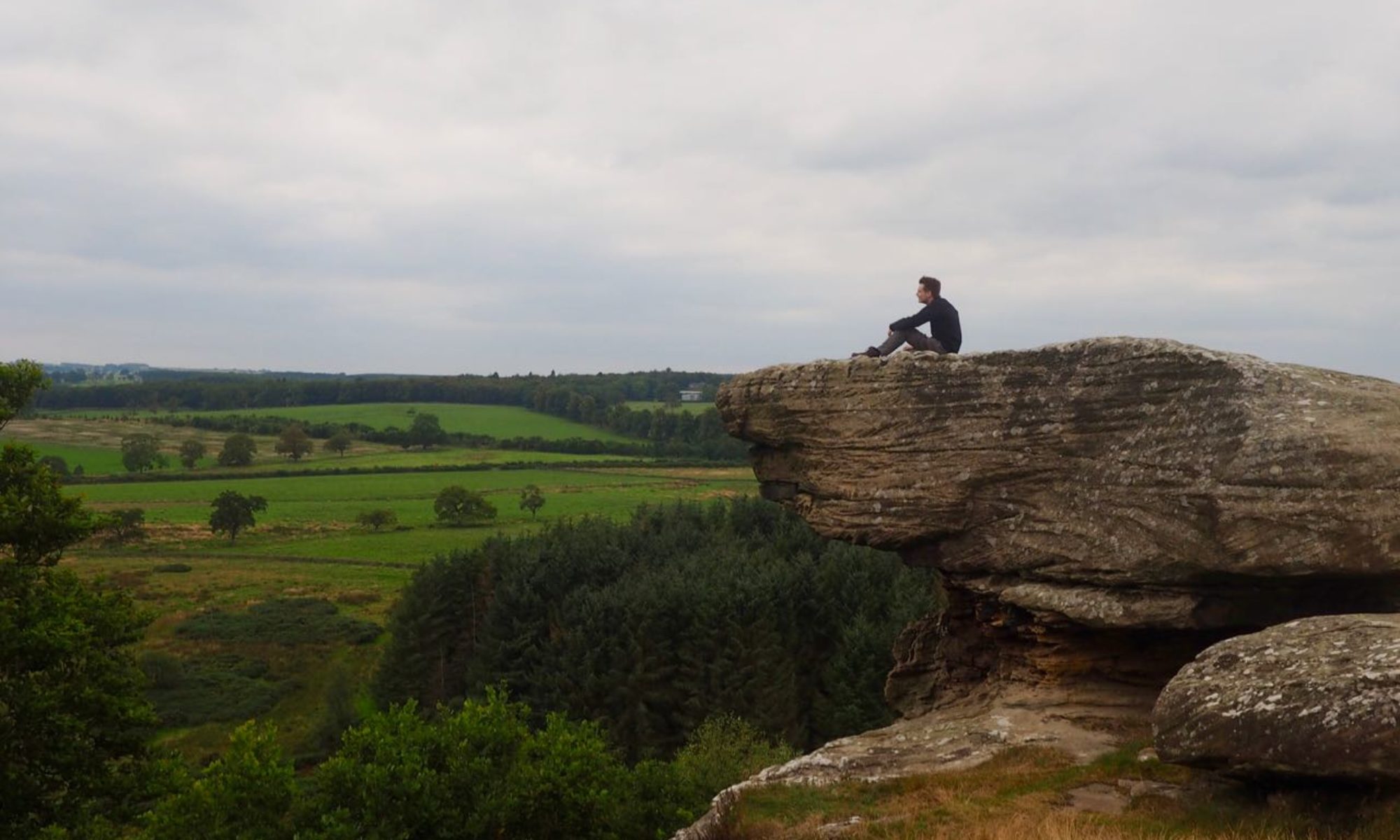
From here the route is relatively straightforward and it is difficult to get lost – the Biggar Water, present on your right for most of the remainder of the journey, makes for a good guide. The path is mostly clear but can be quite muddy in places, particularly after periods of rain.
The Biggar Water – known as the Biggar Burn until it leaves the town – is a tributary of the River Tweed. From its source at the southern end of the Pentland Hills, it flows through Biggar and Broughton before joining Scotland’s fourth longest river near Drumelzier.
As you follow the line, you have expansive views towards the Culter hills on your left. Ahead, you might glimpse the wide mound of Tinto, one of the most iconic hills in the region. After passing through several gates, you will meet a sewage works on your left on the outskirts of Biggar.

The river flows through a valley known as the Biggar Gap. This was created by glacial movement during the Ice Age. It connects the flood planes of two of Scotland’s most important rivers, the Tweed and Clyde, and its importance as a route between the east and west of Scotland is thought to date back to the Mesolithic period.
From here the path becomes firmer under foot. Pass the caravan park, and ignore a path that leads to your right towards Millstone Park. Continue along the railway path past Biggar Golf Course.
At the end of the golf course, the railway path is blocked by a fence. Leave the railway line via a path on your right to skirt along the edge of the golf course, crossing a small foot bridge across the Biggar Burn and onto a tree-lined path along the waterside.

You will soon pass Biggar High School and meet a road at Market Street. From here, it is only a short distance to Biggar High Street where you can find a much needed refreshment at one of the town’s many cafes and pubs. You can return via the same route, or catch the bus back to Broughton.

Discover more
There is plenty more to see in Broughton.
Explore the hills around Broughton and another section of the railway line on the Trahenna Hill Circuit walk.
A short stroll from the village hall is the pretty ruin of Broughton Kirk (NT 11051 36813). The church dates to the 18th Century, but is thought to have existed at this site since the early 1300s. It is notable for a feature known as “St Llolan’s Cell”, named after the Seventh Century Welsh bishop who the church is dedicated to. St Llolan is said to have settled in Broughton after fleeing the Battle of Chester in 615.
