
A peaceful walk in Borders woodland taking in an Iron Age fort and a ruined peel tower.
Distance: 5 miles
Time: 2 ½ hours
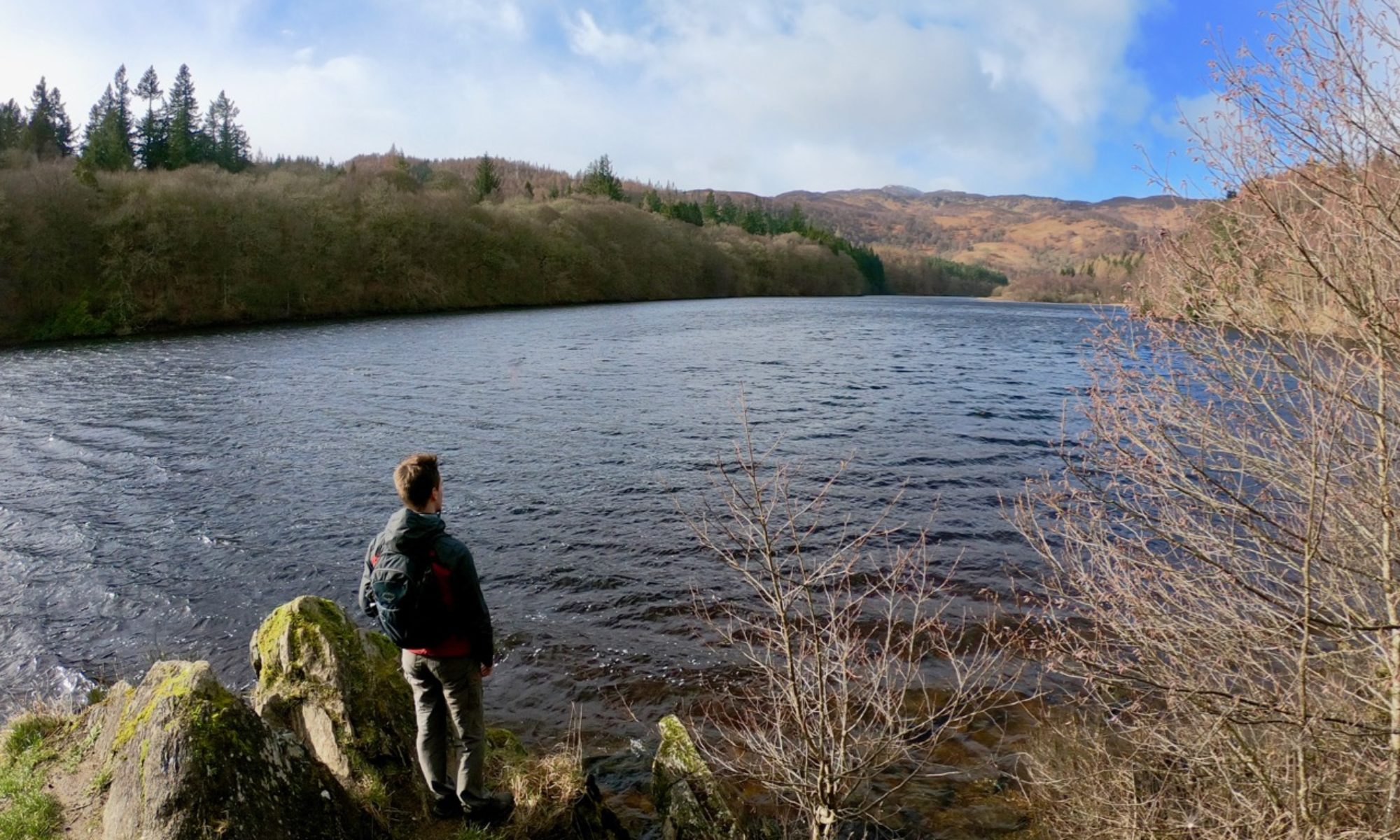
Unlike neighbouring towns which boast histories spanning hundreds of years, the little village of Cardrona on the banks of the Tweed sprung into existence in 1999 as the pet project of a local landowner. From the Forestry Commission car park just west of the village, head past the block of toilets and onto a clear forest track heading south along the Kirk burn. Ignore the paths leading to the left and continue along the track, climbing gently uphill.

At a junction signed Glenpeggy Burn Road, take the track to the left where the route climbs more steeply. Pass by two paths – the first narrow and leading into the trees to your left, the second larger and heading downhill to the right – until the path levels out at a junction. Turn left and proceed back in the direction you came from, albeit at a higher elevation. When you reach a small bench, leave the track and follow a narrow trail across rougher ground.

When you reach the track again, turn left then right, following the brown waymarked trail into the trees at a fence ahead. The path here is sheltered by the surrounding Scots Pine, which cover the ground in a blanket of needles. It shortly emerges into a clearing atop the grassy knoll of Castle Knowe, once the site of an imposing Iron Age hill fort known as “Caerdronnach” – from which the name Cardrona is derived. Its defensive walls are in a sorry state, due in part to the large sheepfold created in the interior of the fort during the 19th century. The existence of such a structure reveals that like much of the surrounding land this was once open hillside serving as pasture for sheep. The forest itself is in fact relatively new, with planting beginning in 1935.

Leave the hilltop and follow the path through the trees until you meet the broad forest track once more. Continue to the left here. When you arrive at a picnic table, the ruin of Cardrona Tower can be seen below. This 16th century tower house was the seat of power of the Govans family until financial hardship resulted in its sale to the Williamsons in 1685. It was subsequently abandoned in favour of the grander Cardrona House further down the slopes. Today the tower is inhabited by a colony of bats that reside in the basement. For a closer view of the tower, head down a narrow path to the right just beyond the picnic table. Otherwise, head left and into the trees following the brown and yellow marked poles.

After passing through a very large kissing gate, take the path to the left and follow the purple markers to pass just beneath the wooded summit of Cardrona hill. Cross the track at a second kissing gate and take the path that heads downhill. Once you have wound your way back to the side of the Kirk burn by a wooden footbridge, proceed to the right then cross another bridge to return to the car park from where the walk began.