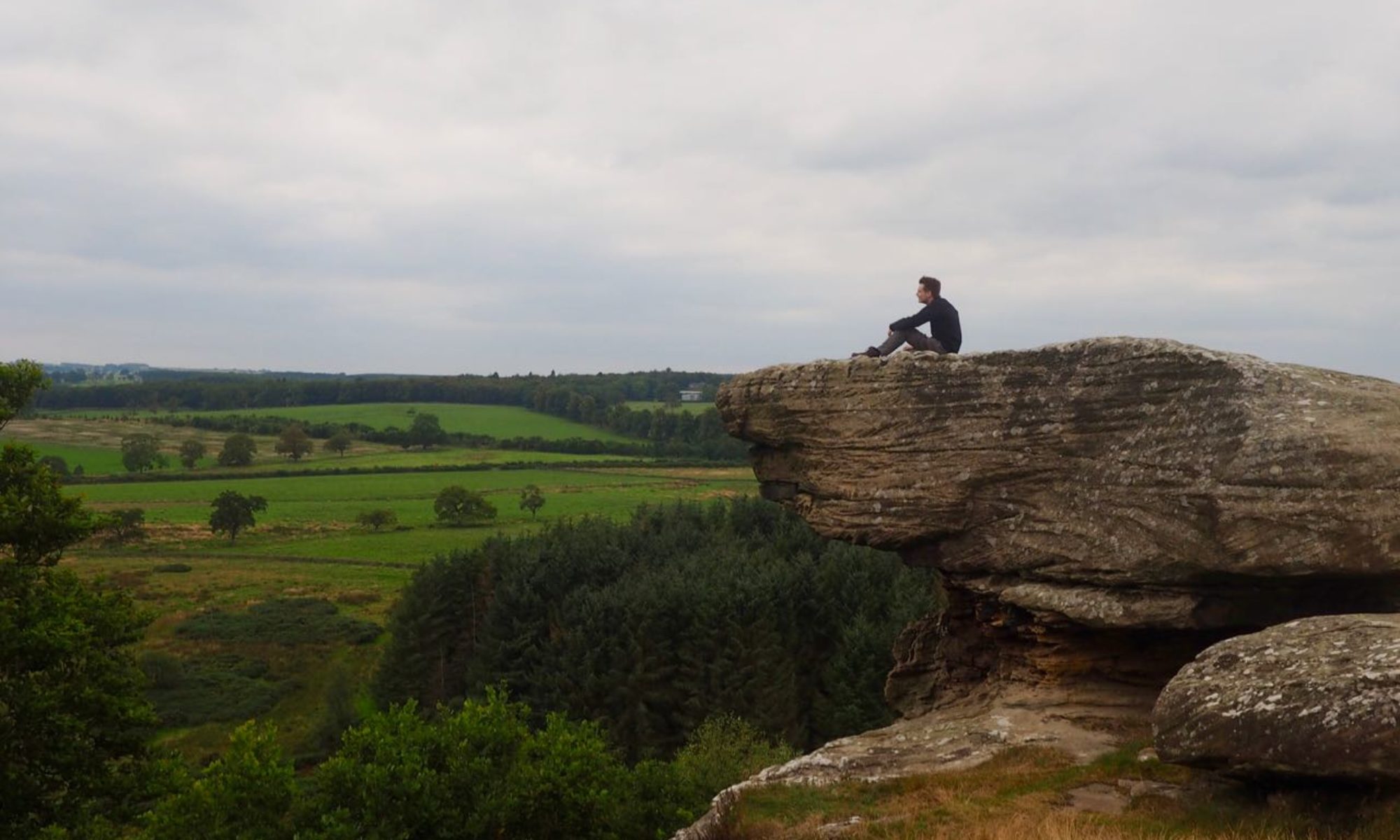

A circular walk that rises high above the Heatherhope Valley along an old drove road, taking in ancient standing stones and no less than three iron age hill forts, before descending to the valley floor to visit a picturesque reservoir.
Distance: 10 ½ miles
Start and Finish: Hownam, Scottish Borders (NT 77855 19185)
Access: No public transport to Hownam. A local taxi service can provide transport to and from nearby towns.

The walk starts from the small village of Hownam (NT 77855 19185) on the edge of the Scottish side of the Cheviot hills. From the small row of cottages lining the street, proceed towards the village hall. Shortly before reaching it, the road forks; take the road to the left as it climbs uphill to pass a white cottage overlooking the valley. After the cottage, pass through a metal gate where the path is replaced by a farm track.

The path soon bends right, passing to the right of the small Horseshoe Wood. After leaving the trees behind, a solitary standing stone can be seen on a knoll to your right. Continue across the field to a gate, then follow the fence on your left and pass through a second gate at a sign pointing in three directions.

The route continues in the direction signed for Alwinton, but for now follow the sign for Belford. Before long a less clear path splits off to the left from the main track. Take this, as it leads towards the first hill fort of the day at Hownam Rings (NT 79040 19390).

The fort and settlement at Hownam Rings show signs of at least four separate periods of occupation; for many years it was believed that it dated to the 1st or 2nd century BC, but more recent radiocarbon dating suggests that this may have been as early as 700-800 BC. Fragments of Roman pottery found during excavations are evidence that the settlement was occupied well into the 3rd century BC, suggesting it may have been occupied in some form for a period of nearly 600 years.
From the earthworks, there are fine clear views of nearby Hownam Law – this large, flat-topped hill was also the site of a hill fort and it is possible that the two may have been connected.
As you retrace your steps from the derelict ramparts, you may spy a line of stones running parallel to the entrance to the fort – 28, in fact, although not all are clearly visible. These are the Shearers, and although the precise date and purpose of their construction remains a mystery it is likely that they formed a boundary wall built during the occupation of the fort.

Back at the signpost, this time follow the path to Alwinton. You’re now following the course of The Street, an ancient drove road through the Cheviots. The origin of its name is unclear, but may be linked to nearby Dere Street and Clennel Street.
A common misconception is that this is the Clattering Path shown on Roy’s military map of 1755; Roy’s Clattering Path appears to end at Calroust in the next valley, rather than at Hownam, suggesting that the two are not in fact related save for a short stretch at the Border.
Proceed along the course of The Street, keeping the wall on your right. After passing a ruined house at Seefew over to your left, the path descends to a five-bar gate near the point where the wall meets a fence. Pass through the gate, taking care on the potentially wet ground on the other side, then follow the course of the fence.
At a fork, leave the fence temporarily by taking the right-hand branch, which climbs a small rise marked by a single stone (NT 80435 18060 ). This hill is the simply-named Big Law, and provides your first glimpse of our second fort of the day at Blackbrough Hill. The path then bends left to return to the fence near a large cairn.

You’ll reach a fork as the path ventures along the top of the steep Cribs Hope; bear right to avoid following the fence, shortening the journey to the other side of the gorge and onto Craik Moor. Once there, pass through a wooden gate and turn left onto a track through the heather leading to Blackbrough Hill Fort (NT 80841 17709).

As you make your way along the path to Blackbrough Hill, it immediately becomes apparent why this site was chosen for a hill fort — steep drops on three sides into the valley below would provide strong natural defences and would force any would-be attacker to make the long journey along the ridge.
The earthworks themselves are particularly well preserved, with the outer walls reaching heights of approximately 4 ½ metres. They make for good shelter against the wind for any walker thinking of stopping for a picnic!
When you’ve finished exploring the fort, return to The Street. After the path bends to the right, away from the fence, it descends to a fork. Bear left to begin climbing again, ascending through the heather to reach Calroust Common.

After passing through a gate, immediately bear right into the heather – if you’re lucky, you may find traces of a path here but the heather has taken over. Follow the fence until you reach a clearing where the path becomes more obvious, and follow this to your left until you reach a flatter area of ground devoid of heather. Bear right here and follow a faint path. This is Greenbrough Hill, which has two distinct hillocks; make for the one on the left, on Sundhope Kipp, to reach the summit which is the site of our third and final hill fort of the day.

The fort at Greenbrough (NT 81584 16819) is less sizeable than the fort at Blackbrough, but is home to several smaller earthworks outwith the main site. From the furthest point on the earthworks, you should be able to catch a glimpse of Heatherhope below, obstructed as it is by the surrounding hills.

From here, retrace your steps back to the flat area of ground reached earlier, then bear right into the heather. The path starts less clearly, but aim slightly to the right of the broad summit of the Cheviot in the distance and it soon becomes more visible. After it approaches a fence, pass through a small wooden gate to rejoin The Street.

With the fence on your right, the path continues towards the Border Ridge above the gorge of Muckle Sund Hope. After bending left at a wet patch of ground marked on some maps as Gunner’s Well, pass through a metal five-bar gate running across the path and proceed until you reach a second small gate in the fence on your right.

On the other side of the gate, the path proceeds towards a small knoll then continues down the side of Phillip Shank. Views of the valley below make for a pleasant walk to the valley floor. Cross the Heatherhope burn and follow the farm track past our last sight of the day, Heatherhope Reservoir.

The Heatherhope Reservoir once provided drinking water to the bustling town of Kelso under the auspices of the Kelso Waterworks. This is no longer the case, as the company has long since vanished, and the reservoir is now more popular with anglers — and, of course, with walkers!

From the reservoir, continue past the buildings at Heatherhope until you reach the farm at Greenhill where you will meet a road. Turn right, and follow it back to Hownam.


As you follow the road, keep your eyes peeled for a cast-iron water inspection point marker bearing the mark KWW – this refers, of course, to the Kelso Waterworks.
