
Many a Scot knows the tale of the Battle of Killiecrankie, where Bonnie Dundee met his end. Yet the soldiers who fought that day would scarcely recognise the large loch that sits near the southern entrance to the pass.
Journey through the peaceful woodland at the shores of Loch Faskally, but watch out for Jacobites in the Pass of Killiecrankie. After climbing high above in search of mountain vistas, follow the more sensible example of Queen Victoria and pay a visit to the majestic Linn of Tummel. Finally, return to the modern era with the dawn of hydroelectric power, forever changing Highland life.
Distance: 14 ½ miles (this can be reduced by around 1 ½ miles by omitting Part Three of the walk)
Start and Finish: Pitlochry War Memorial (NN 94025 58075)
Access: Trains and buses to Pitlochry. Buses run between Killiecrankie and Pitlochry if required.
Part One: The Manmade Loch

From the war memorial (NN 94025 58075) on Atholl Road, head downhill and under the railway bridge. On your right is the Moulin burn, which is nearing the end of its journey from the moorland near Ben Vrackie. At the bottom of the hill, turn left after passing the sports ground onto a footpath signed for the Festival Theatre to reach the River Tummel by the suspension bridge at Port na Craig (NN 94010 57710).

This was once the site of a ferry across the river, which made land at the large rock jutting into the water. It was used by monks in the Middle Ages to travel across the river from their lands at Fonab — today, however, the footbridge is much more convenient. Turn right and follow the narrow path along the side of the river, leaving the bridge behind for now, you’ll have your chance to cross it later.
Continue along the river towards the dam, then turn right to climb the “100 step path” to a car park. Turn left as if to make your way across the dam, but pass to the right of a wall at the edge of the tarmac path to join a narrow footpath that leads away from the dam.

Pitlochry dam was built in 1950 to produce hydroelectric power, and in doing so caused the River Tummel to form the reservoir known as Loch Faskally. today it provides power to some 15,000 homes in the area, and is also home to a visitor centre where you can learn about its history and the generation of hydroelectricity.
The path continues through the trees by the side of the loch, then leaves it temporarily to enter a small housing estate. Before the street joins the main road ahead, take a left at a junction signed for Faskally Wood. Follow this road to a boathouse (NN 92895 58695) on the loch’s shore, then join the path leading into the trees again to pass under the Clunie road bridge that carries the busy A9 across the loch. This replaced the Victorian bridge, which was lost with the damming of the river.

As you continue beside the loch, the path bends right and comes to a junction. Ignore the sign for Kiliecrankie that tries to lead you to the right, and instead keep to the lochside. Climb a set of wooden steps to join another path.

You’ll soon reach a junction with a path to your right marked with a white waymarker — follow this to leave the loch and head deeper into Faskally Wood. At another junction, the signed route continues ahead but instead bear right to skirt around the eastern flank of Dunmore hill.

Hidden behind Dunmore hill is Loch Dunmore (NN 92036 59104), a small but tranquil loch. In recent years it has found a second life as home to the Enchanted Forest, a dazzling sound and light event held annually each autumn.

Follow the path around the edge of the loch, then bear left to leave it and join the waymarked Bealach Path signed for Killiecrankie. Follow the road down to the lochside again, then join a path to keep to the water’s edge. Looking out over the loch is Faskally house, and behind it the wooded summit of Craigower.

The path passes by Clunie power station on the opposite side of the loch, to be examined more closely later in the walk. You’ll soon reach the end of the loch where the path bends right to follow the River Garry. Cross over a wooden footbridge and under the road at Garry Bridge (NN 91463 60984) to enter the famous Pass of Killiecrankie.

Part Two: The Pass of Killiecrankie
An ye had been whare I hae been,
Ye wadna been sae cantie, O;
An ye had seen what I hae seen,
I’ the braes o’ Killicrankie, O.
The Braes o’ Killiecrankie
After the deposition of the Catholic King James VII in 1688 during the Glorious Revolution, forces seeking to restore their former monarch to the throne rose up in revolt against the new Protestant King William of Orange in what would become known as the First Jacobite Rising.
In July 1689, the Jacobites, as James’ supporters would become known, won a great victory over the Williamites at the Battle of Killiecrankie. While the government troops were seasoned veterans, they were experienced in the pitched battles of continental warfare, a far cry from the violent clashes of the Highlands. A rebel ambush in the narrow pass resulted in the deaths of many on both sides, including the Jacobites’ own leader John Graham, Viscount Dundee.
Their momentum was not to last, however, and they were defeated the following month by a much smaller government army at the nearby Battle of Dunkeld.
Curiously, the discovery of a fragment of a hand grenade at the battle site in 2004 suggests that this was the earliest use of the weapon in the British Isles. The device was used by government forces but, unfortunately for them, appears to have rolled back to their lines before it exploded resulting in the deaths of their own men.
The path leads through the scenic pass and crosses a stone that is reputed to mark the grave of Brigadier Balfour (NN 91665 61682), a government soldier who was hacked to death as he held his ground against the Jacobites. A crack across its middle is said to be the spot where he received the killing blow. After passing a railway bridge at a bend in the river, you will arrive at a fork with one route climbing a set of stairs. Stick to the lower path to arrive at another spot associated with the battle.

Fleeing in terror from the fearsome Jacobite warriors, Redcoat soldier Donald McBane is said to have leapt across the river from large flat rock now known as The Soldier’s Leap (NN 9150 6257). At 5 ½ metres this would be no easy feat, especially in full battle dress!

Follow the path as it climbs, passing above the railway line as it exits a tunnel. Cross the road, then immediately bear left when you enter the junction opposite to follow a footpath to the village of Killiecrankie. There is a visitor centre near the village along the road towards Pitlochry, providing more information on the battle.

Follow the road, then turn left and cross the old stone bridges first over the railway and then the River Garry (NN 91173 62768). Follow the road uphill until it bends sharply left. Continue straight, onto a track towards Balrobbie Farm.
Note: Those wishing to shorten the walk by around 1 ½ miles should continue to follow the road left here for around half a mile and skip ahead to Part Four.
Part Three: A Hill with a View
As you approach the farm buildings, bear left to climb some steps and pass through a wooden gate. Follow the fence along the field edge behind the farm. After passing through a gate, the fence is replaced by a tumbledown drystone wall, which you’ll soon leave to climb up the hillside.
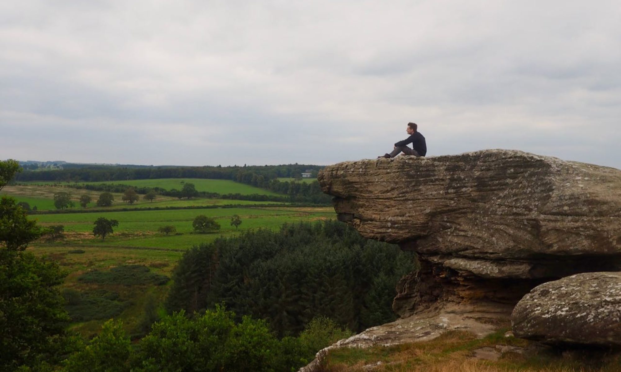
The grassy path skirts around the edge of a wooded area before entering the trees near a wooden bench. Take a rest here to enjoy far-reaching views of the majestic Cairngorm Mountains, and maybe even catch a glimpse of the renowned Blair Castle at Blair Atholl.

After entering the trees, the ground becomes particularly muddy making for a slow ascent. Soon however you will escape the woodland and find yourself approaching the summit of Craig Fonvuick. For a quick detour, a path to the left cuts through the heather to reach the summit itself (NN 90656 62008).

The path descends steadily now, passing some ruined farm buildings (NN 90595 61785). Bear left after passing through a gate until you arrive at a second gate. Don’t pass through this one, but instead follow the fence to reach a third. Join the road here, and turn right.

Part Four: A Lost Waterfall
Continue down the road and pass the small church at Tenandry (NN 91112 61500), built in 1836, to arrive at the main road at Garry Bridge. The road here, and the bridge across the River Garry, mark the junction connecting the main road between the Highlands and Lowlands with the road to the west coast and the Western Isles. The modern road follows that route to an extent, but beyond Rannoch Station is remote wilderness accessible only on foot.

Turn left to approach Garry Bridge, then enter the car park and follow the signed route down the steps beside the bridge to the enter Pass of Killiecrankie once more. The path first heads back towards Killiecrankie, but soon you will meet another path to your right heading in the opposite direction. Join this and walk through the extensive larch wood along the riverside.
When the path bends away from the river, you will find yourself at a crossroads. Continue straight on, then at the a bend in the path head straight to reach the viewpoint at the Linn of Tummel.

The Linn of Tummel was once a much higher fall, where the River Tummel crashed down to be joined by the waters of the River Garry and continue its journey downstream. Following the construction of the dam at Pitlochry to create Loch Faskally, the water levels of both rivers rose and the fall was left a shadow of its former self — but still a beautiful sight none-the-less.
It was visited by Queen Victoria in 1844, an event that is memorialised by a small monument which stands at the viewpoint (NN 91049 59950).

Return to the bend in the path and follow it along the River Tummel. Many kinds of flora and fauna call this woodland home, including otters and pine martins. When you reach a fork in the path at a gate, pass through the gate and continue along the riverside to reach Coronation Bridge (NN 90310 60150), which provides passage across the water.

Part Five: Powering the Highlands
You are now on the south bank of the river and starting your return journey to Pitlochry. The road here is single track, so be on the lookout for traffic coming in either direction. Turn left, and follow the river back towards the Linn of Tummel. A short distance beyond, you will arrive at the rather imposing looking gateway that marks the entrance to Clunie power station (NN 91480 59507).

Electricity was once a rare luxury on remote Highland farms. By the end of the 1940s, the power of hydro-electricity was harnessed in order to bring these remote communities into the modern age. The power station at Clunie was one of those built for this purpose. The large round archway was constructed to commemorate those who lost their lives in the construction of the tunnel that feeds water to the power plant, with the arch measuring the same diameter as the tunnel itself.
The road continues east, following the course of the loch. After it bends sharply left, now heading southward, a stone can be seen on the grassy verge which upon closer inspection bears a carving of a crucifix on each side. This is the Priest’s Stone (NN 91540 59256); it was first recorded in 1912, although may date back as far as the 7th century, and was moved to its current position in the 1970s. There is evidence of a ruined chapel on the slopes nearby, from where it likely originates.

Continue past the stone to follow the long stretch of road back to Pitlochry. Shortly after passing below Clunie bridge for a second time, the road joins the A9; bear left onto a level tarred path (NN 92945 57980). Follow this towards the dam, passing the salmon ladder built to allow migratory salmon access upstream beyond the dam — the first of its kind in Scotland.

The road from the dam passes the Festival Theatre and soon arrives at Port na Craig once again — note the old post box near the bridge; it bears the insignia of Edward VII, son of Queen Victoria, who ruled 1901 – 1910. Opposite it to your right was once the site of a Victorian reading room, where men could catch up on local news and read the latest newspapers. Cross the suspension bridge to return to Pitlochry and a well-earned rest.
Ramblings
This long walk around Loch Faskally and its surroundings
It was a splendid day when I set off in the morning — more like May than early March. In the Pass of Killiecrankie, I stopped a while at the Soldier’s Leap. The rocky ground made for a fine place to stop for my lunch overlooking the river roaring by below.
On a whim I decided to make a detour from Killiecrankie to climb Craig Fonvuik. It’s not the highest hill around, but I knew there was a long stretch of road walking later in the day and wanted to make the most of the nicer weather — and I’m glad I did. I found myself walking backwards to take in the sweeping views of the snow-capped mountains beyond Blair Atholl.
The weather wasn’t to last, however. Shortly after leaving the Priest’s Stone, the mists came in and I was engulfed in snow and strong gusts of wind.