In search of a nice walk for a Sunday afternoon, I decided to visit the Minch Moor, once traversed by medieval monks, Highland drovers, and the armies of Edward I.
Distance: 5 miles (there and back)
Time: 2 hours
The walk starts outside the community hall in the village of Traquair, where an information board can be found detailing the local area. Heading to the road, I soon came across a sign pointing me in the right direction.

Continuing along the road past some houses, the tarmac soon gave way to a firm stone track leading steadily uphill. The Minch Moor is one of Scotland’s oldest hill paths, and today makes up part of the Southern Upland Way, one of Scotland’s main long-distance walking routes, and is therefore well signed. It is also crisscrossed by cycle trails from the nearby 7stanes mountain bike centre, although as chance would have it I didn’t meet many cyclists today despite the wonderful weather.

After a while, I came across some large circles cut into the heather. A sign at the nearby Point of Resolution sculpture provided some explanation: they were cut to encourage growth and provide food sources for nearby wildlife. It also explained that the “circles” weren’t actually circular – they were all ovals, with the largest being 150m long but only 50m wide. From further up the hill I looked back and wondered how I ever thought they were even slightly round!

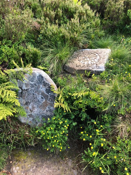
Continuing on, I soon reached the Cheese Well. Contrary to its name, this isn’t a fondue lover’s paradise but rather a small natural spring near which travellers traditionally left pieces of cheese to appease the local fairies. Today, however, the practice seems to have evolved into leaving coins in lieu of dairy products; perhaps the fairies have embraced a vegan lifestyle.

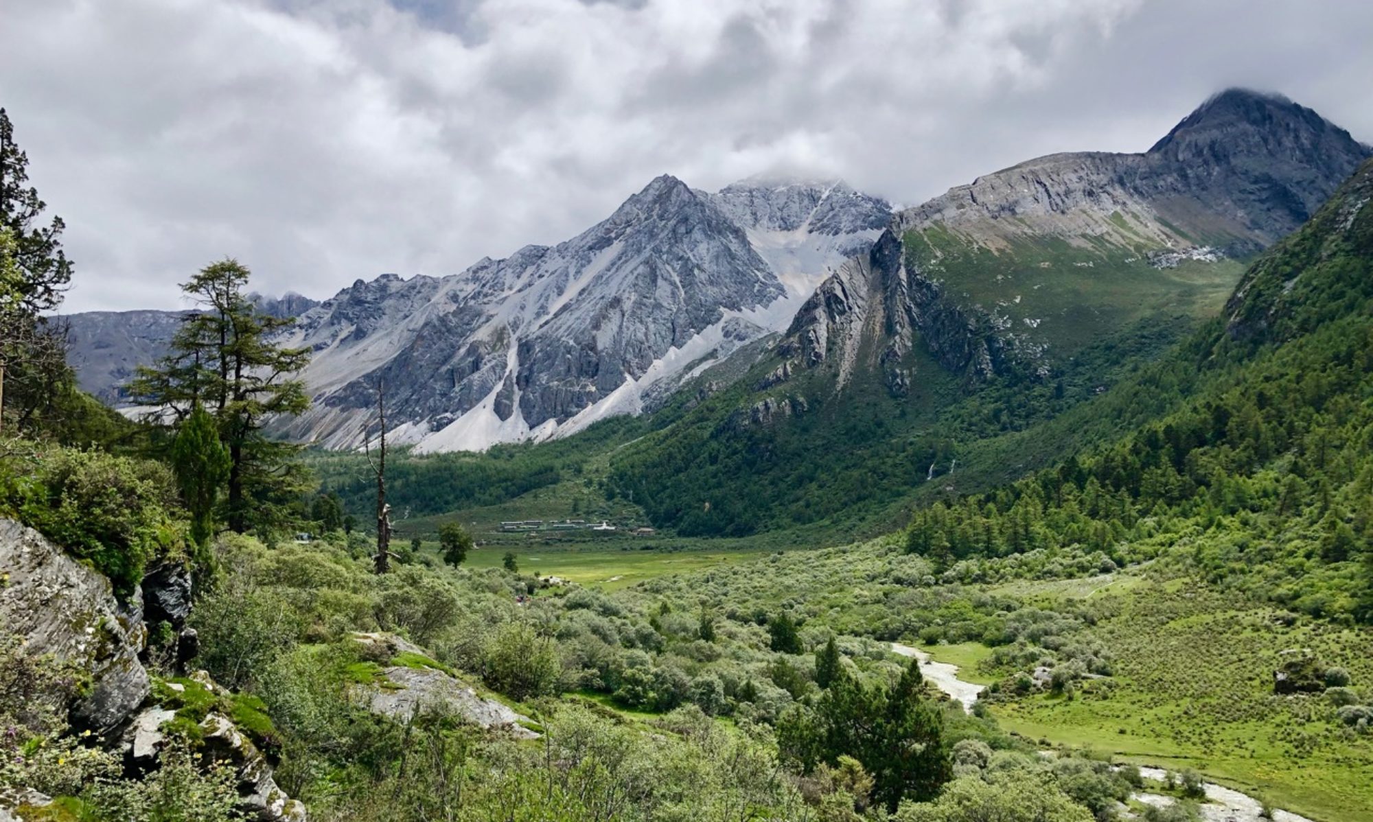
Following a short ascent, I arrived at a fork in the path. While the Southern Upland Way continued straight ahead, and could be seen winding its way through the hills towards Galashiels in the distance, I opted to head up to the right towards the summit of the hill that gave the route its name. From there I was able to see a great distance in every direction.

Next to the cairn was the traditional trig point, indicating that I had indeed reached the summit. It was a nice spot to stop for a while, if a little windy.
For the return route, I retraced my steps back down to Traquair, granting spectacular views of Lee Pen and the Moorfoot hills. A walk for another day, perhaps.


