
A word to describe this walk near Hawick could easily be “forgotten” — with ruined cottages, ancient settlements, a disused railway line and an abandoned military camp all to uncover, it’s certainly fitting. Find out about Scotland’s wartime history as you venture into the hills; you may be near one of the Borders’ largest towns, but the sense of isolation and tranquility is ever present.
Distance: 7 ½ miles
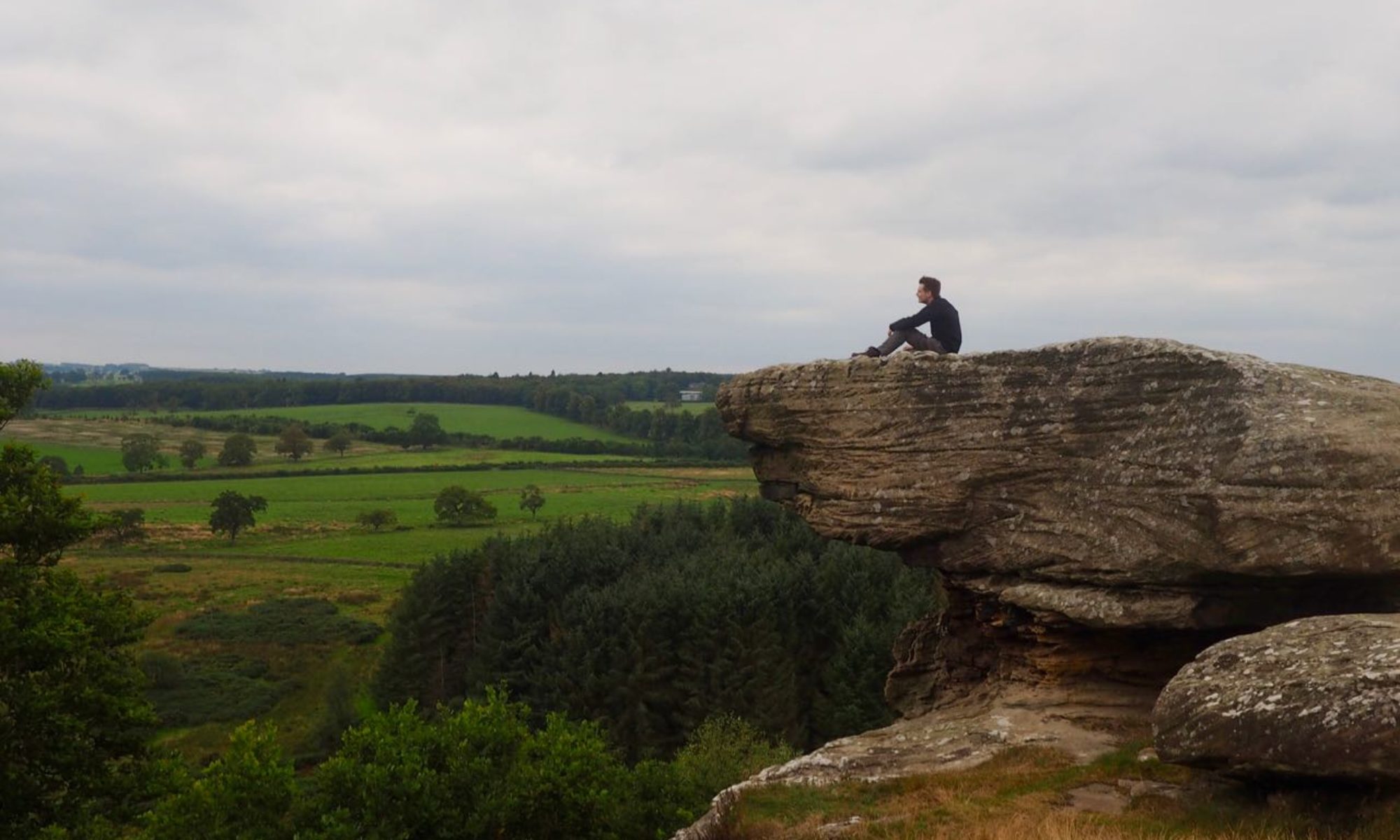
Start and Finish: Road end at Barnes, near Stobs (NT 50385 09585)
Access: Bus 128 between Hawick and Newcastleton stops at Stobs.
The walk starts at the end of an unassuming backroad at Barnes farm. To reach this, head south from Hawick on the B6399 towards Newcastleton. As the road crosses the Slitrig water, turn right at a roadside war memorial to pass underneath the Barns viaduct. Continue along the road until you cross a cattle grid.

To your right as you face away from the road, a lone wooden hut stands on the opposite side of the Barnes burn. This is all that remains of a great collection of some 200 such huts that once made up Stobs camp.

Stobs Camp was once the site of a military camp used to train new recruits during the summer months. With the arrival of the First World War, however, it became the main Prisoner of War camp for all of Scotland. Over 6,000 German soldiers, military personnel and civilians were held here over the course of the war. The “streets” in the camp had German names, they had their own band, and even their own newspapers.
The camp remained in use during the interwar period, and its role in the Second World War is shrouded in mystery. After the war, it housed foreign nationals once more – this time serving as a temporary residence for Polish nationals who wished to start a new life in Scotland rather that return to Poland.
Part One: The Road to Penchrise Pen
Head up the track by the roadside signed for Hawkhass, passing the derelict farm buildings at Barnes. Bear left when you reach the road again, and at a fork take the left road. Continue along the road as you climb gently uphill.
Several settlements and hill forts dot the surrounding landscape. A fine example can be seen when you reach a wooded area to the immediate left of the path; an opening through the trees leads to open hillside where the rugged earthworks are well preserved.

From these ancient walls you can enjoy stunning views of some of the Borders’ best-known landmarks – the Eildon hills, Ruberslaw and Peniel Heugh to name but a few. Return to the track to continue uphill onto the moorland towards the conical summit of Penchrise Pen.

Pass by the turning to your left leading to Penchrise farm. At almost the highest point of the track, turn left and head into the heather to reach an old concrete sentry post — another stark reminder of the area’s military history.

From here, it’s only a short climb to the top of the Pen. At its summit stands a trig point alongside the remains of a concrete structure, likely related to the military camp in some way or another.

Part Two: The Training Grounds
Descend the other side of the hill and make your way towards the farm track at the bottom. From here, follow the fence on your left, passing yet more earthworks, until a perpendicular fence blocks your way – pass through the gate in the fence on your left and proceed to the bottom of the field. Turn left, and keep the fence on your right as you make your way across the field, but take care as the ground can be quite boggy in places. Pass through a metal field gate to join a track and cross the Penchrise burn.

The track climbs here before passing through another gate. The track soon joins a stone wall hidden at ground level; follow this straight ahead, walking parallel to the power lines on your right, towards the ruined buildings.

This large area to your right within the triangular walls was a target range as evidenced by the words “Range Warden” still visible above the doorway of one of the buildings – but little else is known about the site’s history. Approach the buildings with care, as the ground around them is a quagmire in the best of conditions.

Follow the track as it passes to the left of the main group of buildings, then to the right of another building, to arrive at a wall around a field. Keep the wall on your right and head downhill towards Shankend viaduct. At a crossroads, turn left to join the former course of the Waverley railway line.
Part Three: The Forgotten Railway

The Waverley Route once ran from Edinburgh to Carlisle, passing through many of the main Borders towns on the way, to join what is now the West Coast Main Line. Its name comes from Sir Walter Scott’s Waverley novels, and it passed near to the author’s home at Abbotsford.
This stretch of the line was part of the Border Union Railway, and a station opened at Stobs in 1862. It saw greatly increased activity with the opening of the training camp nearby, but aside from military use it was never particularly busy.
The line was ultimately deemed to be financially unviable and was closed as part of the Beeching cuts in 1969 – although recent developments have seen the line return as far as Tweedbank with the opening of the Borders Railway in 2015.
While many sections have been reclaimed for farming or housing, the line between Shankend and Stobs remains intact, though the rails themselves are long gone. Perhaps one day trains will return here, too — in which case you may be able to complete the return leg much more quickly!
When you reach the railway bed, turn left and head away from the viaduct to continue north, passing several ruined cottages by the side of the tracks. Fragile bridges cross the line in places, which would have once provided safe passage above the trains as they hurtled past.

After meeting a wooded area above the Slitrig water, Stobs Castle can be seen across the river. Stobs was home to the Elliotts, one of the great Reiver families of the Borders, though no trace of their medieval fortress remains. The estate was purchased by the War Office in the early 1900s to enable the construction of the training camp.

Shortly after passing underneath another bridge, the line is blocked by a densely wooded area. Leave the path to the left here, and follow the fence at the edge of the field to continue north. As you arrive back to the start of the walk, head into a peaceful glade near the road. Between the trees stands a memorial cairn to the German Prisoners of War who lost their lives while interned at the camp here.

The cairn was constructed by the prisoners themselves in 1917, while the war was still raging, and was recently refurbished to restore it to its former glory, and an inscription on it reads “To our comrades who died far from home”. It remains a sombre place to reflect on the lives lost during such a dreadful conflict.
Ramblings
This walk was a fascinating experience – I’d grown up in the Borders yet never knew that there had ever been a camp here. More recently, as I’d been planning where to walk, I’d come across its name but had never realised the scale of things — both the number of prisoners held and the geographical area covered. Discovering the German memorial at the end of my trek was especially poignant, and served as a touching way to draw the journey to a close. Sometimes the most interesting places are the ones you don’t expect to find.