
The Minch Moor Road is one of the oldest in the Borders. Once a drove road between the Tweed and Yarrow valleys, it has found a new lease of life as a popular walking route as part of the Southern Upland Way. Journey along it to find a royal castle, imposing cairns and a hideout used by William Wallace.
Distance: 12 ½ miles
Start and Finish: Yarrowford (NT 40825 29950)
Access: Parking at Yarrowford. Bus S03 connects Selkirk and Yarrowford, but as this is a school service it operates on school days only.
Part One: In Search of The Three Brethren
Set off from the village hall at Yarrowford (NT 40740 30015). The name Yarrow possibly derives from the Celtic “garw” meaning “rough” or perhaps the Old English “gyr”, “mud” or “marsh”. Flowing from its source at St Mary’s Loch, the river flows through the Duke of Buccleuch’s estate at Bowhill before joining the Ettrick Water near Philliphaugh – site of a famous victory by the Covenanters over a Royalist army in the British Civil Wars. The area was a popular haunt of literary greats Walter Scott and James Hogg; William Wordsworth, however, seems to have been less enthusiastic, writing:
“What’s Yarrow but a river bare,
Yarrow Unvisited
That glides the dark hills under?
There are a thousand such elsewhere
As worthy of your wonder.”
His opinion must have changed over the years, though, as he would later return to the subject on several occasions in less critical pieces — perhaps he’d come to realise just what the Yarrow had to offer.

The area has an interesting place in the history of travel (and hiking) — Broadmeadows was once home to the first Youth Hostel in Scotland, which sadly closed in 2013 and is now a private residence.
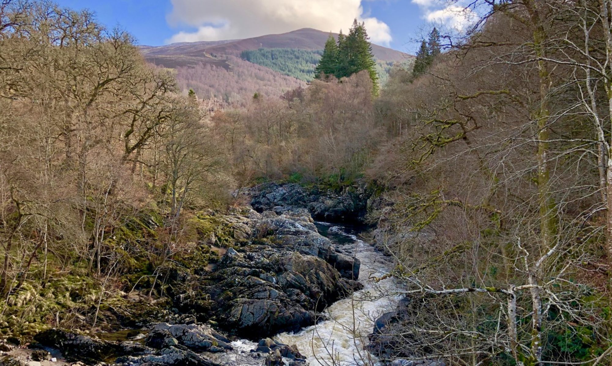
Head east along the main road towards Selkirk. As you leave the village, pass a junction to Broadmeadows and cross two bridges over the Yarrow. After the second bridge, the picturesque ruin of Newark Castle can be seen across the river.

The name Newark is derived from “New Werk”, so called to differentiate it from an earlier castle subsequently known as “Old Werk” of which no trace remains. Built during the reign of King James III, Newark was once a royal hunting lodge with a wide variety of game inhabiting the forests that once surrounded it. It was later a stronghold of the Scotts of Buccleuch, who since relocated to nearby Bowhill. The house is open to the public in the summer months, but the estate, on which the tower stands, is open year-round.
To your left, a stile crosses a fence to join a track signed for Galashiels. Follow this uphill as it bends right to climb into the saddle between the two great lumps of Peat Law and Foulshiels Hill. On the hilltop, the path becomes grassier and less firm underfoot before bearing right to cross the Long Phillip Burn.

Soon after crossing the burn you will arrive at a stile, and on the other side enter a broad expanse of heath. A multitude of paths criss-cross through the heather; take a particularly substantial looking one bearing to the left which leads to a broad track. Turn left and follow the track to the three large cairns sitting atop a nearby hill.

The Three Brethren (NT 43285 31935), as the cairns are collectively known, are over 500 years old and mark the boundaries of the three surrounding lands that meet here: Yair, Philliphaugh and Selkirk. They play an important role in Selkirk’s annual Common Riding, and a small display near the cairns shows the names of each year’s Standard Bearer.

Part Two: The Drove Roads
From the Brethren, follow the path west. From here you are on the Southern Upland Way, Scotland’s longest long-distance path. On its journey from Portpatrick to Cockburnspath, it crosses the expanse of the Minch Moor on the stage between Traquair and Melrose. This is one of the oldest roads in the Scottish Borders, offering safe passage along the hilltops between the valleys of Yarrow and Tweed.
The path follows a fence on your left, soon replaced by a drystone wall. Eventually, though, you will cross a stile and the path bears right and follows a fence on your right to reach Brown Knowe (NT 38857 32649).

After descending slightly and continuing along the drove road, you’ll arrive at a junction (NT 37910 32755) where the Southern Upland Way is joined by another long-distance path, the Cross Borders Drove Road. The path to the left leads back to Yarrowford – but why return so soon when you’re so near the highest point on the moor?

Continue along the Southern Upland Way into the woods of the Tweed Valley Forest Park. As the trees on your left come to an end, you are approaching a popular mountain bike trail – cyclists can emerge from the trees and shoot across the path at speed without warning, so take care.

The Southern Upland Way continues ahead to the village of Traquair, but bear left here to climb to the cairn and trig point at the top of the moor (NT 35863 33058).

Retrace your steps back through the woods to the junction with the Cross Borders Drove Road. Leave the Southern Upland Way to follow this path downhill in the direction of Yarrowford.
As you begin your descent towards Yarrowford, you’ll soon pass a deep earthen gorge in the hillside on your left. These earthworks are known as Wallace’s Trench, an ancient structure of uncertain purpose. Its name comes from Scotland’s most famous hero, William Wallace, who served as the Guardian of Scotland during the Wars of Independence. Wallace is said to have waited in the trench while the lords of the south rallied to his cause.

From the trench, follow the old Drove Road downhill through the fields towards the edge of Hangingshaw Wood.
A tower once stood at Hangingshaw, of which no trace remains. It was once the home of an outlaw known as Murray, whose stand against the king and subsequent surrender and elevation to Sheriff are the subject of a ballad known as The Sang of the Outlaw Murray.

After the path bends right to pass through the wood, descend some steps to arrive at a roadside. From here, follow the road to the bright red village hall to arrive back at Yarrowford.

Ramblings
It was a changeable day when I ventured out onto the moor. Though sunny when I left home, by the time I arrived at Yarrowford dark clouds had gathered on the horizon. I pressed on, looking to reach the Three Brethren before the rain arrived but, to my delight, at worst it was a light drizzle.
By the time I reached the cairns, though, low cloud was covering the hills. Now this may have hampered my views a little, but it lent a certain atmosphere to the moor that just wouldn’t have been present on a sunny day – wild, blustery, and almost a little lonely, just like it would be for the drovers of old.
The further I walked, however, the clearer the sky became and soon the waterproof was stripped off. It stayed pleasant for the remainder of the walk, offering splendid views of the surrounding hills to the point where you’d be forgiven for thinking I’d taken my photos on different days!