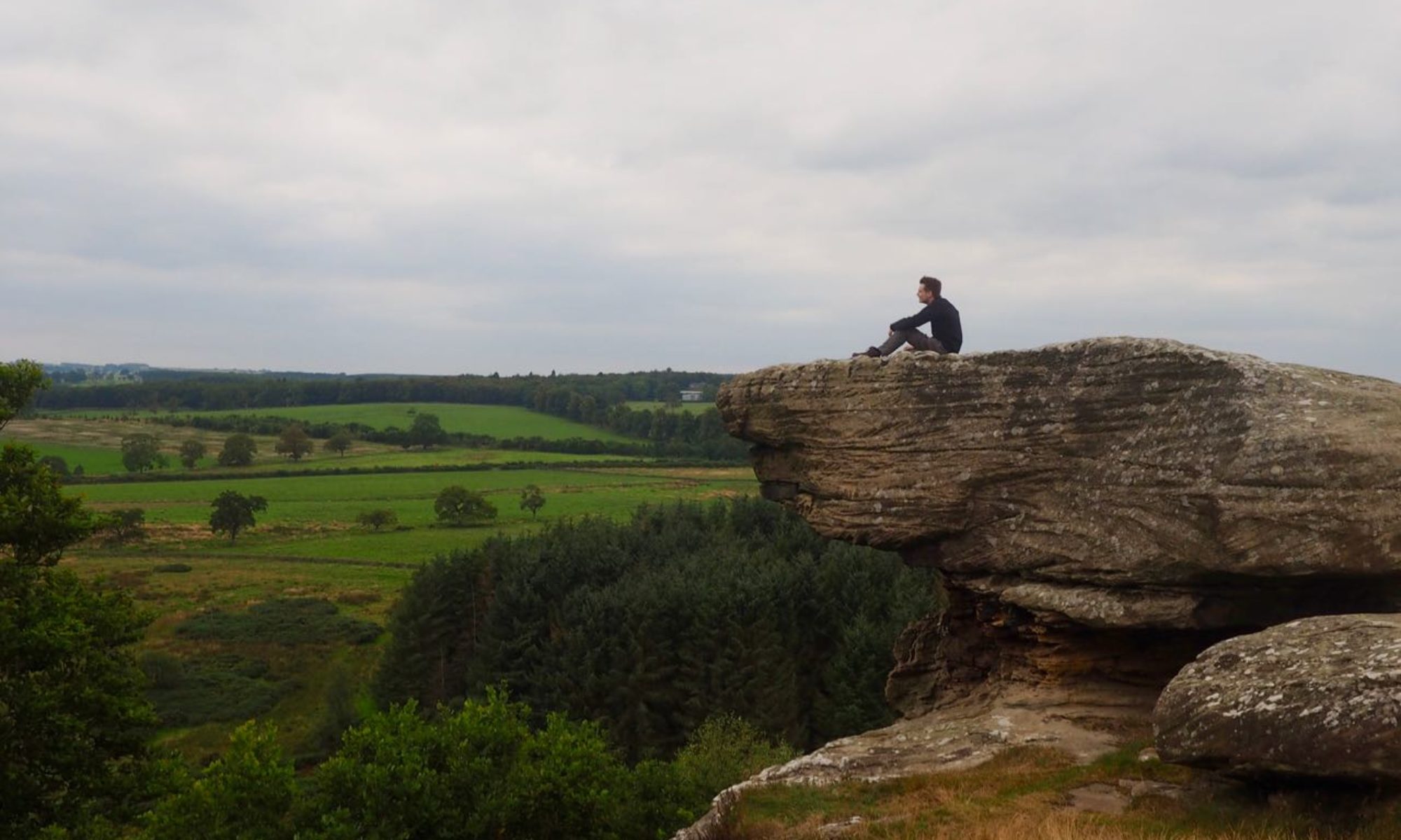
Most people choose to climb Scald Law from the south — but you’re not like most people. Take an afternoon to climb to the roof of the Pentlands and take in some beautiful sights along the way.
Distance: 8 miles (add approximately 2 ½ miles if starting from Balerno)
Start and Finish: Threipmuir car park (NT 16620 63895)
Access: Bus 44 from Edinburgh terminates at Balerno. Parking is available at the start of the walk.
This walk starts from the car park near Threipmuir reservoir. If travelling by public transport, the number 44 bus terminates in Balerno. This leaves a little over a mile of road walking to reach the nature reserve.

Whether you arrive by foot or by car, you’ll pass the Red Moss of Balerno. This raised peat bog forms part of the Balerno Common site of special scientific interest (SSSI), and is home to a multitude of rare plants and insects.
Leaving the car park, follow the road southwest. You’ll soon cross Redford Bridge, which offers spectacular views across Bavelaw Marsh and Threipmuir Reservoir. From here, follow the road as it climbs uphill to reach a crossroad (NT 16500 62900). Bear right here, then take the first left — both are signed for Nine Mile Burn. Follow the track along the edge of a small plantation, then pass through a gate.

Beyond the trees on your left stands Bavelaw Castle, which dates to the 16th century. An earlier tower which forms part of the current house was used as a hunting lodge by both Mary Queen of Scots and King James VI.
You’re now on a track known locally as the Red Road. This name derives from the red soil that makes up much of the ground. Continue along the Red Road past the flank of Hare Hill until you reach a gate leading onto open moor, marked on some maps as Red Gate. The moor here is an important nesting site for ground-nesting birds, so take care during the summer not to disturb them.
A short distance through the gate you’ll come to a way marker at a junction leading off to your left (NT 16795 61305). Turn left onto this path and follow it through the heather. Over to your right stand (from closest to furthest) West Kip, East Kip and Scald Law — our three targets for today’s walk.

The path here is particularly wet and peaty, and you may need to scramble through the heather in places to avoid losing a boot to the mire. After a little under a mile, the path begins its descent into Green Cleuch. When you reach the valley floor (NT 18195 62125), bear right, passing the picturesque waterfall formed as the Logan burn crashes down from the moor.

You can cross the Logan Burn using a series of large stepping stones. Follow the track here towards a house at The Knowe. A short distance before arriving at the house, bear right onto a steep path signed for Penicuik.

Since you set foot in Green Cleuch, you’ve been following a path known as the Kirk Road. This was a historic route used by parishioners living on the surrounding farms to attend church across the hills in Penicuik. Given the steep climb involved, they must have been especially dedicated! As you climb higher, you can enjoy views along the Loganlea Reservoir, which was built in the mid-19th century.

Shortly after crossing a ladder stile, the path levels as you make your way into the col between Scald Law and Carnethy Hill. At a crossroads (NT 19520 61510), bear right to leave the Kirk road and pass through a gate to continue your ascent towards the summit of Scald Law.

At 579 metres, Scald Law (NT 19168 61084) is the highest peak in the Pentlands. Its name is thought to come from the Scots language, coming from either ‘Scaud’ (meaning burnt — like the English word scald) or ‘Scawd’ (meaning patchy).
The path snakes its way up the hillside to arrive at the trig point. From here, you can have fine views south towards the Moorfoot hills and north across the Firth of Forth — although if, like me, you climbed the hill on a rainy November afternoon you may be lucky even to see the bottom of the hill.

From the trig point, follow the path across the hilltop as it descends towards East Kip. Some maps show this as the location of a certain Cross Sward — this was a stone cross that reputedly once stood somewhere between Scald Law and East Kip, but which was lost after a local farmer thought it would make for a fine addition to his wall. The remains of a similar cross can be found on nearby Monks Rig.

When you meet a track, continue straight and follow the path up the side of East Kip to reach the summit. The path leads downhill once again, before climbing one last time to reach the top of West Kip. This is the final ascent of the day, so take some time to admire the views before continuing down the hill’s west flank.

At the base of the hill, bear right on a track signed for Balerno. This is a continuation of the Red Road that you left earlier in the day. From here, follow the track across the moor back to the Red Gate (NT 16790 61355). From here, you need only retrace your steps back to the car park (and onward to Balerno, if you came by bus).


