
Arthur’s Seat dominates Edinburgh’s skyline. Its proximity to the city centre means that it is a popular destination: at most times of day, you can look up to the hillside and make out the shapes of walkers climbing to its summit. Climb it yourself, and learn some of the history of Holyrood Park, on this short but scenic walk in the heart of the city.
Distance: 5 km (3 miles)
Start and Finish: Queen’s Drive (NT 26995 73700)
Access: Parking available at Queen’s Drive. Bus 35 and various city sightseeing buses stop on the Royal Mile, leaving a short walk to Queen’s Drive.
This walk starts at Holyrood, near two locations that define Scottish politics: the historic royal palace of Holyroodhouse and the modern Scottish Parliament. Holyroodhouse is still a royal residence today, and it sits at the east end of the Royal Mile which leads to Edinburgh Castle. The name Holyrood means Holy Cross, and comes from the ruined Abbey that sits in the palace grounds. The Abbey was founded by King David I after he received a vision of a white stag while out hunting.

With the palace and parliament behind you, bear left to head east along Queen’s Drive. This was once the carriage drive to the palace of Holyroodhouse, and was built in the 1840s by Prince Albert, the husband of Queen Victoria, when he remodelled the park.
You’ll soon pass a set of stone steps on your right (NT 27000 73705). This is the Radical Road, and was once a popular route to climb Arthur’s Seat. In recent years, a series of rockfalls caused Historic Scotland to close the path until further notice.
The Radical Road takes its name from the Radical War of 1820. Social and economic inequality, along with high levels of unemployment, led to a week of protests. The author Sir Walter Scott came up with the idea of building the path in order to create jobs for the unemployed weavers from the West of Scotland.
A short distance after the Radical Road, you will reach a fork in the path. Bear left, taking the path closest to the road. On your right you’ll pass St Margaret’s Well (NT 27133 73712), a medieval well that once stood near the church at Restalrig. The building of the railway meant that the well had to be moved, and in 1860 it was moved to its current location near a natural spring where David I supposedly drank following his vision.

St Margaret was the wife of King Malcolm III and Scotland, mother of three Kings of Scotland – Edgar, Alexander I, and David I – and of Matilda, the wife of Henry I of England. Margaret was a pious and devout woman, and funded ferries across the Firth of Forth to help pilgrims traveling to St Andrews in Fife. After her death, David I founded St Margaret’s Chapel in Edinburgh Castle in her honour and Pope Innocent IV canonised her in 1250.
Further ahead, a path veers away from the road towards a small cluster of trees. This leads to the edge of St Margaret’s Loch (NT 27545 73875). This was once a boggy marsh, and the loch was built as part of Prince Albert’s renovations.

Across the loch stands the ruin of St Anthony’s Chapel (NT 27566 73711). The chapel was built at some point before the 15th Century, and once belonged to the monks of Kelso Abbey who used to own the land in this part of the park. You can visit the ruin from a path at the opposite end of the loch, although this will add around 1 km to the length of your walk.

Follow the path to the end of the loch, then join the Queen’s Drive again as it climbs gently uphill. As you leave the trees, you’ll have views east along the coast. At the top of the hill is Dunsapie Loch (NT 28130 73270), another artificial loch created by Prince Albert. Overlooking the loch is Dunsapie Hill, a small hill that was the site of an Iron Age hill fort.

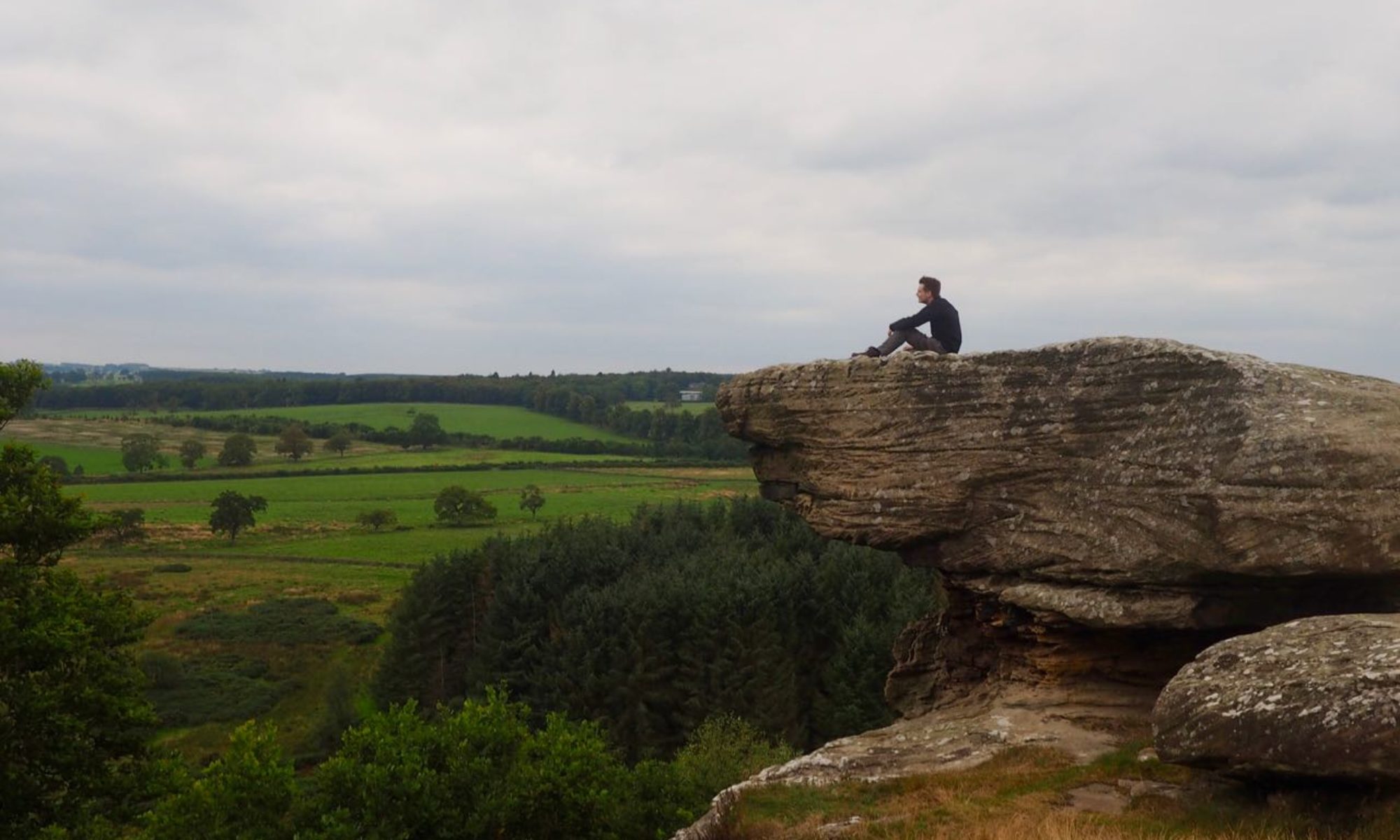
After passing the loch, you’ll arrive at a small car park (NT 28065 73025) where you can join a path that leads onto the grassy hillside to begin your ascent of Arthur’s Seat. The path here is fairly straight, leading towards the summit ahead of you. Part of the route follows a set of stone steps, and the final section involves clambering across bare rock, both of which can be slippery in wet weather. When you reach the summit (NT 27534 72947), you’ll have unrivalled views across the city – although you might have to fight the crowds to see them!

At 251m (823 ft), Arthur’s Seat stands out against the surrounding landscape. The author Robert Louis Stevenson described it as “a hill for magnitude, a mountain in virtue of its bold design“. The hill is the remains of an ancient volcano, but don’t worry: the volcano last erupted over 340 million years ago. Its name is thought to come from the legendary King Arthur: some stories say that it was the site of his court at Camelot, while others say that Arthur and his knights sleep beneath the hill, ready to awaken when their kingdom needs them. Other tales include the hill being a seat for a wandering giant, or that it was once a ferocious dragon who terrorised the countryside before falling asleep and never waking up.
When you finish taking in the views, retrace your steps to begin your descent. Rather than returning towards Dunsapie Loch, take a path (NT 27595 73085) that leads along the northern flank of the hill. At a fork, take the left path which leads to a short flight of steps. When you reach another path, bear left and continue along the gorse-covered hillside.

You’ll emerge from the gorse at a point where several paths meet (NT 27275 72815). Bear right, passing the steps leading up to the Salisbury Crags, to enter an area known as Hunter’s Bog. This path doesn’t enter the bog itself, but stays safely on the high ground between the bog and the crags.
You might think that the name Hunter’s Bog is related to Holyrood Park’s origin as a royal hunting ground. In fact, the name is much newer: John Hunter was the keeper of the park between 1566-67, and he was granted the land that now bears his name by Mary, Queen of Scots in exchange for draining a bog at King’s Meadow. Mary had previously turned the bog into an artificial lake to celebrate the marriage of two of her courtiers – it would be another 300 years before Prince Albert tried something similar.
The bog’s other royal connection dates to the Jacobite rising in 1745. The Jacobite army entered Edinburgh through this route, and it is said that Bonnie Prince Charlie rode through the bog and paused in emotion when he first laid eyes on his ancient family home of Holyroodhouse.

The path bends sharply left (NT 27315 73705) near the quaintly-named Haggis Knowe. This meets Queen’s Drive near St Margaret’s Well, from where it is a short distance back to the start of the walk.