
A peaceful walk around a nature reserve and surrounding countryside. Perfect for a Sunday afternoon.
Distance: 10 miles
Time: 4 hours
The walk starts in the charming village of Ford. Head uphill out of the village along the main road until you reach a path signed “Fordhill”. Follow this into the woodland and over a stile to enter a field. Aim for the south-east corner of the field, passing between a small line of trees, before arriving at a field gate by a small burn. Proceed along the faint path, following the trees until you reach a wide gap through which runs a track. Turn right here. After a short distance, the right of way continues across the middle of a field, but instead turn left and follow the farm track until you come to a road. Turn right and follow it to a fork. Take the left path and pass through the gate signed “Ford Moss” to enter the nature reserve.
The majority of the reserve comprises of a large peat bog. Formed at the end of the last ice age, the reserve provides a good habitat for a number of species including roe deer, red grouse, snipe, and, surprisingly, semi-feral Exmoor ponies. It was also once the site of a colliery, dating from the late 17thcentury, which saw use as late as the First World War. Little evidence remains now, although the ruins of several mine buildings can be seen dotted around the reserve. As you reach the bog itself, a lone chimney dominates the view in front of you, providing a fine example of what once was.

Heading right at the chimney, the path continues around the edge of the bog. Take the path to the left at the next two forks, and head downhill to approach and then follow the edge of the woodland. After a distance you should see a stone wall ahead. Head towards this, then follow the path as it doubles back to climb to the top of Broom Ridge. From here, it approaches the rocky edge of Goatscrag Hill before descending to a gate where two walls meet at a right angle.

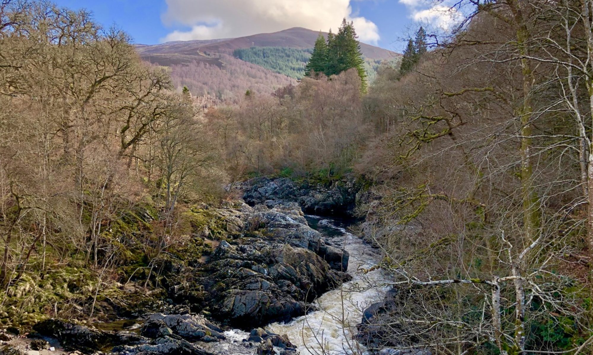
Pass through the gate here and continue along the farm road, passing Routin Lynn farm. As you reach a bend in the road, the sound of water fills the air. Under the small bridge here is Roughting Linn, a small waterfall – although the spelling varies from source to source, I’ve opted to use the spelling that appears on the signs in the area. On my OS Map, it was simply shown as “Waterfall”.

Continue along the road and turn left at the crossroads. After a short distance, a break in the trees leads to a large rocky outcrop which boasts some fine examples of prehistoric rock art. Supposedly this is the largest of its kind in the north of England, with excavations showing that the artwork continues beyond what is now covered by grass and earth.

The road skirts along the edge of Doddington Moor. Just before you arrive at the wind farm at Bar Moor, turn left onto the Bridleway signed for Ford Moss. Cross the windfarm access road as it cuts through the field and press on towards the farm buildings ahead. Pass through a gate and turn left. After several more gates, continue along the path that runs between two fences. After passing through yet another gate, follow the fence on your right until you arrive at the access road once more. Ignore this gate, and instead cross the road and continue around the edge of the field with the fence still on your right. You will eventually reach a wooden gate that brings you back into Ford Moss once more.
The path here can be quite muddy. Keep the fence on your right, and pass through a five-bar gate when it appears in front of you. This leads past another of the ruined mine buildings on its journey around the Moss. Here I was lucky enough to encounter some of the Exmoor ponies that call the reserve home.

The path continues around the moss, passing through a gate at some trees. This brings you back to the chimney from earlier in the day. From here, retrace your steps back to the road, and continue back to the junction onto the farm track. Instead of turning left to head back to Ford, continue past this junction until you arrive at the B6353. Turn right, and head along the main road until you reach a sign for Watchlaw Farm. Turn left here and continue along the roughly surfaced road for a short distance before joining a grassy track that leads across two fields. When you reach another minor road, turn left and continue along this for some distance. Take time to admire the views of the Cheviot hills in the distance as you make your way to Hay Farm.

Upon arriving at the farm, turn left then head past the houses to a field. The path heads downhill here towards a small woodland, which it then enters. Make your way through this, and you will arrive back in Ford Village. Continue along this lane for a short distance to arrive at the main street, which marks the end of your walk. When I visited, the village was decorated for Halloween which made it rather spooky in the dark!

Pass through the centre of the village and along a path that leads to Ford Castle and the 12th-century St Michael and All Angels church.

As I returned to the centre of the village, I met some friendly sheep who – unlike their cousins I passed on my walk – seemed quite eager to join me on my adventure. Unfortunately I had to leave them behind.
