
From the gypsy stronghold of Kirk Yetholm, cross the border to venture into the Cheviots in search of prehistoric hill forts and a tranquil waterfall.
Distance: 12 miles
Time: 5 ½ hours
Start and Finish: Kirk Yetholm (NT 82700 28200)
Access: Bus 81 from Kelso stops at Kirk Yetholm.

Kirk Yetholm was once a headquarters of the Romani people in Scotland and was for a time the home of their “royal family”. Charles Faa Blythe, the last “King of the Gypsies”, was crowned there in 1898.
Today the village is popular with a different kind of traveller, serving as both a staging point for St Cuthbert’s Way and as the terminus for the Pennine Way. Nestled as it is on the edges of the Cheviot hills, it makes a perfect starting point for forays into the borderland.

From the green in the centre of the village, head along the road southeast signed “Pennine Way and St Cuthbert’s Way”. This leads out of the village and past the Gypsy Palace.
As the road enters the Halterburn valley and veers to the right, cross a small car park to reach a wooden footbridge over the Halter burn.

On the other side of the burn, ignore the track leading to the right and instead ford the Shielknowe burn on your left, then turn right to follow a path along a fence as it approaches the slopes of Green Humbleton hill.

Continue on the path as it climbs along the side of the hill above the burn – the path splits at a fork on the hillside, but both paths meet again after a short distance before subsequently joining a broader track. After a bend to the right, St Cuthbert’s Way separates from the Pennine Way at a sign for Elsdonburn. Follow this path to the left to arrive at a gate in the Border Fence (NT 85350 27315) and cross into England.
As its name suggests, this fence (and the wall that now makes up much of it) marks the border between England and Scotland. The current border was settled in the first half of the 17thcentury after the Union of the Crowns following the ascension of James VI and I in 1603.
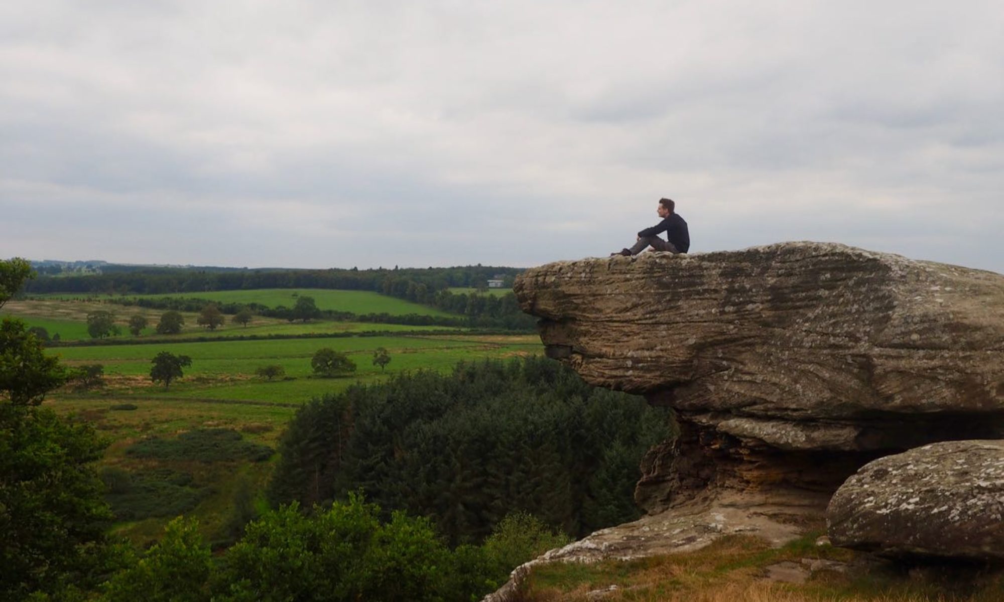
Now in England, leave St Cuthbert’s Way on a track to your left to reach Eccles Cairn (NT 85490 27560). Built as a burial cairn for a prehistoric chieftain, over the years its stones were reclaimed for use in the many drystone dykes on the surrounding hills. Stop a moment and enjoy the picturesque views of the Cheviot before you and grand vistas of Scotland to your rear.

From the cairn, cross the open ground to the north to reach a fence at the edge of a small woodland. With the fence on your left, follow it along the flank of Coldsmouth hill, ignoring any paths that might seek to lead you onto a lower gradient. The fence eventually reaches a stone sheepfold. Pass through a metal gate in the fence next to the far side of the stone wall, and join a farm track.
Follow the track until it bends sharply to the right, and join a track heading left signed for a “Hill Fort Trail”. Although not the most frequented of paths, this stretch of the route is well signed throughout. Follow the path to the hill fort at Ring Chesters (NT 86710 28910), perhaps one of the best-preserved examples of an Early Iron Age settlement in the North East of England.

Pass through a gap in the fort’s northern earthworks and descend to a gate and stile at the corner of the woodland below. On the other side of the fence, cross a bridleway and follow the edge of the trees to your right. The right of way here deviates from that marked on some OS maps, keeping to the edge of the trees rather than heading deeper into them.

At a way marker, bear sharply left to reach a wooden gate in a wall. Pass through the gate and head right until you reach the end of the wall then aim for another marker post a short distance ahead. Turn right here and head downhill to a stile by a stretch of boardwalk.
Once over the stile, head east on a grassy track that winds its way across the open ground. After passing over the remains of a homestead, the path bends sharply right and descends to a gate and stile at the corner of a small area of woodland. Cross the stile and continue southeast.

The path becomes less clear as it crosses well-worn cultivation terraces, but after crossing a trickling burn follow it to the road at the bottom of the hill to leave the Hillfort Trail and rejoin St Cuthbert’s Way once more. Turn left here then right at a junction and follow the road to the village of Hethpool.
Hethpool is typical of many a village within the Northumbrian National Park – small, picturesque, lacking in amenities but with much to offer a curious walker. From here it is possible to venture deeper into the College Valley towards the heart of the Cheviots.
When the road bends right, continue straight on across a cattle grid. A short distance ahead, leave St Cuthbert’s Way via a stile to your left. Head straight across the field and through a gate, then cross a stretch of boardwalk. Follow the path through another gate and over a small bridge, continuing along the path. The sound of rushing water fills the air as you approach the College Burn on your right. When you reach a fork in the path, take the right-hand path to arrive at a wooden bridge over Hethpool Linn (NT 90225 28490), a truly picturesque waterfall.

When you have finished admiring the scenery, head back to Hethpool and retrace your steps to where the Hillfort Trail and St Cuthbert’s Way met. From here, the route follows St Cuthbert’s Way back to Kirk Yetholm.
Continue along the road, and at a fork after a cattle grid take the right-hand road to arrive at Elsdonburn farm. Follow the road through the steading and through a gate to the right. A clear track leads uphill to a stile; cross this and at a fork take the track downhill to the right to cross the small stream known as Shank’s Sike then pass through a field gate.
The route bears slightly right to avoid climbing the steepest part of the hill; upon arriving at a fence on the opposite side of the field, cross a stile. The path once passed through woods here, but at the time of writing recent activity has deforested the area. The path that can still clearly be seen clearly between the stumps, so follow this to another stile. The path bears right, then climbs steadily uphill.

As you near the top of the hill, you will arrive at the point where you left St Cuthbert’s Way to reach Eccles Cairn earlier in the day. Continue straight on to reach the Border once again and cross back to the safety of Scotland once again.

From the border, retrace your steps back to where the course of St Cuthbert’s Way left the Pennine Way and from there head down into the Halterburn valley, across the burn, and along the road to Kirk Yetholm.
