
From a historic spa at Innerleithen, climb high up Lee Pen to enjoy unimpeded views along the Tweed valley. Descend to the Leithen Water and through woodland to visit the site of an Iron Age hill fort.
Distance: 8 ¾ miles
Time: 4 ½ hours
Start and Finish: Innerleithen High Street
Access: Bus 62 between Galashiels and Edinburgh stops at Innerleithen.
Note: At the time of writing, the wooden bridge at Colquhar farm is structurally unsound and closed. An alternative crossing to the Leithen Water can be made at a ford further upstream.
From Innerleithen High Street, head up Hall Street, opposite St James’ Church. Follow the road past Victoria Park, the town’s football grounds, and continue uphill. When a footpath crosses the road, turn left and enter St Ronan’s Wood. A short, but interesting detour can be made here to discover a little bit of local history.
Start of detour
Follow the road to until it bends to the right; ahead is a blue pavilion at St Ronan’s Wells (NT 32850 37250).

Though many saints bear the name Ronan, tradition has it that Innerleithen was founded by Ronan the Silent, an Irish pilgrim saint connected with Cornwall and Brittany. Though the claim has no historical basis, the legend goes that St Ronan caught the Devil with his crook and banished him to Hell. This caused a sulphurous spring to emerge, full of the stench of the underworld.
The link with St Ronan was strengthened when the Borders’ most famous son, Sir Walter Scott, wrote his only contemporaneous novel St Ronan’s Well, which was set in a thinly veiled substitute for Innerleithen. The Earl of Traquair, who owned the land, decided to rename the spring from the “Doo Well” to the more illustrious “St Ronan’s Wells” in order to cash in on the novel’s success.
In 1826, three years after the novel’s release, he built a spa pavilion where visitors could take in the healing waters of the spa in comfort. The connection was entrenched further still with Scott’s friend and fellow writer James Hogg helped establish St Ronan’s Border Games in 1827, the oldest sports meeting in Scotland and still held to this day.
While the spa waters were a great draw for the town, its population doubling during the summer due to the influx of tourists, it fell into decline in the 1880s after a spa was opened in nearby Peebles. In 1895 it was renovated to restore it to its former glory, and the current pavilion was constructed including a bottling plant. Thus, the country’s first bottled pure mineral water went on sale.
A royal charter saw the Wells’ water supplied to King George V at Buckingham Palace, and the Royal Coat of Arms adorns the pavilion to this day. In 1966 the owners, United Breweries, sold the Wells to Innerleithen Town Council for the nominal sum of £1, and today it serves as a museum in the summer months.
When you have finished looking around the Wells and adjoining garden, retrace your steps back down the road to the entrance of the wood.
End of detour
Climb the steps into the woodland, and follow the path through the trees until it joins a broad tarmac track. This climbs gently, with mast-topped Caerlee Hill to your left. When the track bends sharply left, continue straight ahead towards a gate in the wall. Rather than passing through, follow the wall to the right to begin your ascent.
The path is clear and relatively unchallenging. Cross several fields, and, as you near the end of a woodland on your left, the steeper climb to the summit becomes visible.

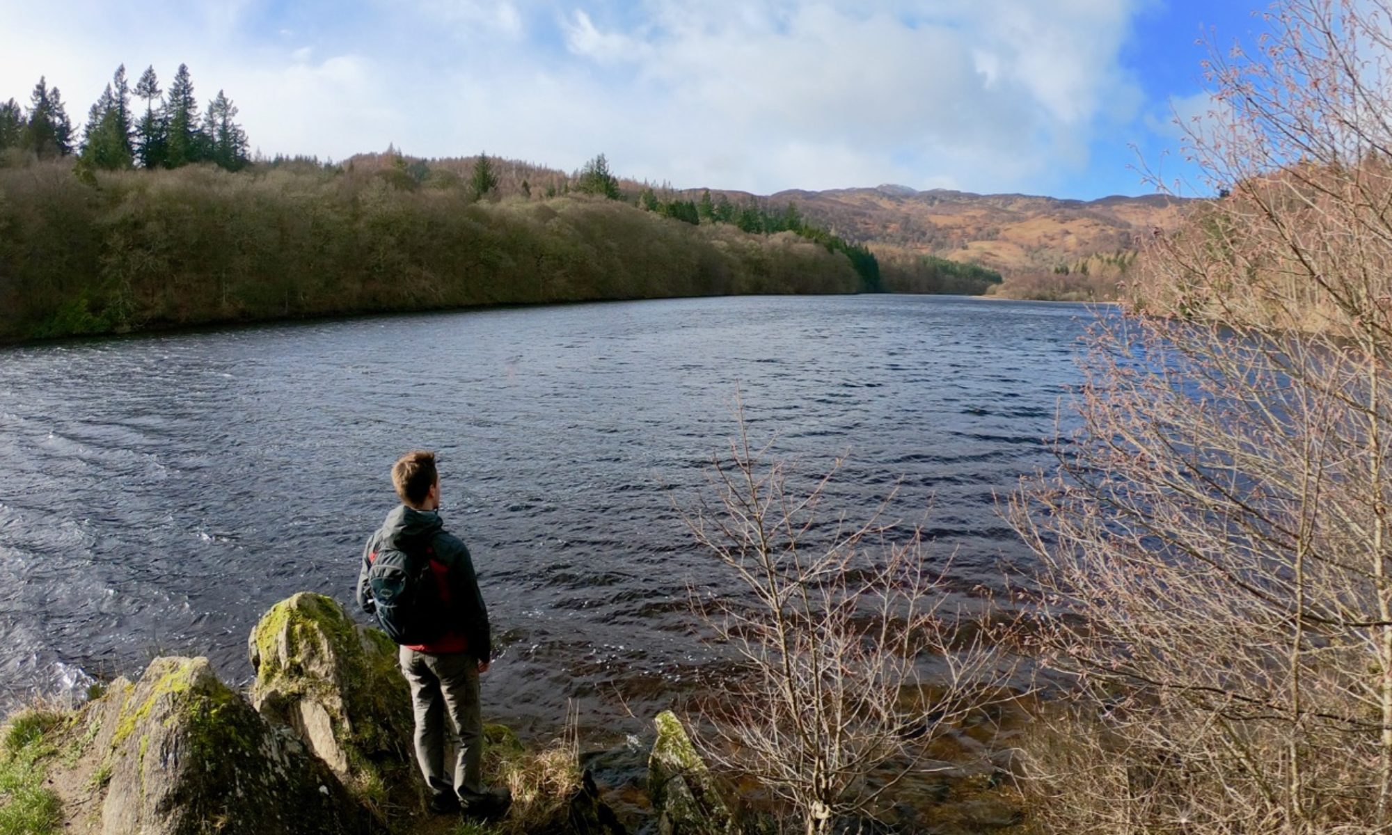
Continue to follow the wall up the craggy hillside until you arrive at a cairn at the top of Lee Pen (NT 32590 38600). From here you can admire splendid views along the Tweed Valley, with unimpeded views of Cardrona Forest and Peebles to the west, the Minch Moor to the southeast, and on a clear day as far as the Cheviots on the Anglo-Scottish border.

Cross the stile, and continue to follow the wall across the exposed, somewhat boggy hilltop. This continues first to the non-significant Lee Burn Head and then to another stile at Black Knowe (NT 31765 40950).
From here the route becomes somewhat trickier to follow. Cross the stile and leave the wall behind, heading northeast into the heather. Various tracks and sheep paths crisscross the hillside, but make your way downhill and you will soon see a small farm on the other side of the river below.

Aim to the left of the bridge leading to the farm – the land to the right is often wetter – and, at the base of the hill, follow a stone walled enclosure to a wooden five-bar gate in the fence leading to the bridge.
At the time of writing, the bridge is unsafe and closed to walkers – cross at your own risk. An alternative crossing can be made at the nearby ford a short distance upstream. Cross the river to arrive at Colquhar farmhouse (NT 33215 41540). Note the large, misshapen masonry making up one of the corners of a stone dyke to your left – this is the only remains of Colquhar Tower, a 16th century tower house that once stood at the junction of the Leithen Water and Hope Burn.

Turn right and join a grassy track on the opposite side of the road. This was once the old road leading into the valley, and runs parallel to the modern road. Follow the track until it rejoins the tarmac road, then continue on this to enter Innerleithen golf course.

When you reach the clubhouse, leave the road on a forestry road to your left and pass through a gate to enter Caberston Forest. Like nearby Glentress, this is a popular area for mountain bike enthusiasts, so be on the lookout for cyclists emerging from trails through the trees without warning. Follow the forest road, ignoring any paths leading to the left or right. You will eventually emerge from the forest at Pirn Hill (NT 33571 37260), known locally as “Rocky”.

Climb to the top of the hill, which was once the site of an Iron Age hillfort, and you will find a series of several stone slabs carved with images depicting rather artistic interpretations of the history of the area. The cairns are spaced out to give the shape of a typical hut that would sit atop such a hill.

Descend the opposite side of the hill to enter Pirn woodland. Follow the path through the trees until you reach a junction with a road at Horsburgh Terrace. Rather than joining the road here, turn right and follow the path down some wooden steps to follow the Leithen Water. This leads to the Cuddy Brig (NT 33320 37145), a stone bridge built with church funds in 1701 to allow parishioners to cross the river in order to attend church.

Cross the bridge, then turn left and follow the road to pass the Memorial Hall and War Memorial and arrive back at Innerleithen high street.
