
The remote woodland of Craik Forest is nestled in the heart of the Southern Uplands. Follow the Aithouse Burn through the trees in a hidden glen to the stunning Wolfcleuch Waterfall, then climb up to the summit of Crib Law before descending along forest tracks to a second smaller waterfall.
Distance: 6 miles
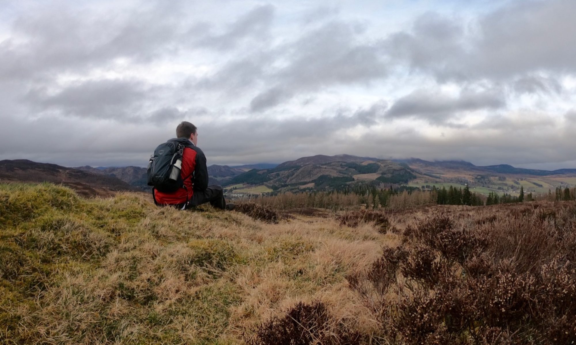
Time: 3 hours
Start and Finish: Forestry Commission Car Park, Craik Forest (NT 346 079)
Access: No public transport; parking at Forestry Commission car park.
The walk starts in the Forestry Commission car park. By the side of a small path connecting the upper and lower levels of the car park is a memorial to the Halifax Air Crash of 1944 in which an aircraft crashed on nearby Muckle Knowe during the night of April 1st 1944, killing all eight crew members on board.

Follow the Borthwick Water into the trees at the bottom of the car park, following the red waymarked route. Leave the stream at a bend in the path, climbing uphill on a grassy path then turn left when you arrive at a broad forest track.

For a very short distance, the walk now follows the Romans and Reivers Route long distance path. This 52 mile path connects Hawick in the east with the Forest of Ae in the west following the course of old Roman roads.

At a junction to the right, leave this track and follow the somewhat muddy path to reach another track at a junction. Take the track directly opposite you, signed “Aithouse”, then after passing a small layby leave the track and follow the path down to the side of the Aithouse Burn.

The waymarked route bends right here to return to the track, but keep heading straight ahead to leave the path and follow the burn upstream. Several small landslips here have made the route more arduous than it once was, but head into the green moss below the trees to your left to find alternative routes where necessary. Once these initial obstacles have been navigated, the way ahead is clear.

Continue along the side of the burn, crossing several small wooden bridges over tributary streams, until you arrive at a more substantial bridge across the burn itself. Cross here, then immediately bear left to continue following the water.
After crossing another bridge, turn left again to follow the Wolfcleuch burn for a short distance. The path is narrow, but after passing a lonely picnic table you will arrive at the majestic Wolfcleuch waterfall. The amount of water crashing down seems far more than ought to flow from the small burn. When you are ready, retrace your steps back to the first of the two bridges crossed.

From the bridge, climb up to the forest track and bear left to continue uphill. A short distance after passing a quarry on your right, you will arrive at a ruined building to the left of the track. A path to your right leads through the trees to begin climbing Crib Law.

The path slowly makes its way up and around the side of Crib Law. When another forestry track is reached, turn right and as it ends follow the path continuing onwards. At a fork where the paths are faint, take the left path, rising slightly before entering the trees again. This pleasant section of the walk winds its way uphill along a well-maintained track crossing several small wooden bridges.

Eventually you will emerge from the trees at a track atop Crib Law. Bear right, and follow the track as it narrows and becomes much rougher. As it descends, ignore the route leading to your right and continue straight on through the trees to arrive at another track.
Turn right here, and head downhill, turning left at the junction above the Aithouse Burn. After crossing a small stone bridge, leave the track to your left and follow the burn across more open ground, passing an overgrown ruin on your right. This section is marked on some maps as a vehicle track, but is better suited to walkers.

After the path rises slightly, a short detour can be made to view another small waterfall as the Aithouse Burn flows down towards the Borthwick Water. Though much smaller than the falls at Wolfcleuch, this one is much noisier.

Follow the path above the burn until you arrive at a farm. Bear right here to meet the road, joining the Roman and Reivers Route once more, and follow the road ahead to return to the picnic area by the Forestry Commission car park.
