
Situated just outside of the boundaries of the Northumberland National Park and a stone’s throw away from the foothills of the Cheviots, the moorland north of Wooler is woefully overlooked by walkers. Yet one need only glance at a map to realise that in this small area lie an incredible number of prehistoric sites, from Neolithic rock art and a stone circle to an Iron Age hill fort.
Distance: 5 miles
Time: 2 ½ hours
Start and Finish: Doddington (NT 99900 32380)
Access: Bus 464 between Berwick and Wooler stops at Doddington. Limited roadside parking in the village.
Start at the village of Doddington, 3 miles north of Wooler. By the side of the main road just after entering the village from the south stands a large stone cross known as the Dod Well. This was erected in the mid-19thcentury by the local Reverend, and a spring of water flows from beneath the plinth.

Leave the village along the lane that runs past the cross signed for Wooler golf club. Follow the road until it bends to the right; you should continue straight here and through a gate to join a clear track. Visible to your right are the large mounds formed by waste deposit from the former quarry nearby.

Continue along the track, past farm buildings and through another gate, until you reach a stile next to a gate in the stone wall on your right signed for Weetwoodhill. Cross the stile to enter the field.
Follow the field edge with the fence on your left; when you reach the perpendicular fence at the opposite side of the field turn right and continue to follow the fence until you arrive at the next corner of the field. Cross a stile over the fence here.
You have now entered access land, where walkers have the right to roam. The stile to your left marks the start a short detour which can be made to visit some Neolithic rock art and a hill fort, sites for which the region is particularly famous.

Start of Detour
Turn left and cross another stile, then climb over a ladder stile in the stone wall. Turn left and pass over a cattle grid to enter another field. From here, head roughly east towards a patch of trees ahead; you will soon see some exposed flat stones emerging through the grass. These stones boast fine examples of cup and ring marks.

Return back over the ladder stile, and after crossing the stile cross the main path and continue straight to cross yet another stile. Ahead of you are the earthworks of The Ringses, an Iron Age hill fort. From here you can enjoy splendid views of the Cheviots.

Return over the stile to rejoin the main path.
End of Detour
Head past the stile and follow the tumbledown wall on your left past a small plantation, ignoring a path that leads off to your right. Cross another stile and continue to follow the wall. As the path rises, the remains of an ancient settlement can be made out on the opposite side of the wall. As the path levels out you will arrive at the remains of a prehistoric stone circle. Only one weather-beaten stone stands resolutely, its companions have long since fallen.

Follow the wall until you arrive at a fork in the path; the path to the left leads to a wooden gate. Take instead the path to the right and continue to follow parallel to the fence. At an overgrown wall, take the right-hand path to keep the wall on your left.
The small hill immediately to your left at first appears unremarkable. Yet atop this hill hide further cup and ring marked rocks, testament to the moor’s prehistoric significance. Although hidden from your current vantage point, a cave can be seen in the hillside from the road below. Local legend claim that it was on this rocky outcrop that the devil hanged his grannie. It is also one of the possible candidates for the cave where St Cuthbert’s body was hidden after the sack of Lindisfarne by Viking raiders, although the current consensus is in favour of the nearby St Cuthbert’s Cave.

The path becomes less clear, but soon a set of large rocky crags can be seen ahead to guide you on your way. When your way is crossed by a wide track, you have the option to turn right here for easy access to the top of the crags; for a more scenic route, continue for a distance and take one of the many smaller paths that climb between the crags themselves.

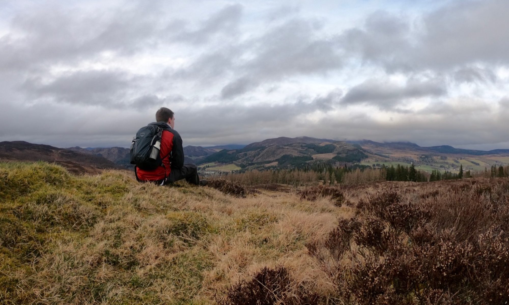
Atop the crags, enjoy unparalleled views of the eastern Cheviots. Past the bend in the hill, the lonely Shepherds House can be seen perched above the steep slopes.

Shortly before arriving at the cottage, bear right to climb slightly higher and reach the trig point marking the summit of Dod Law, the highest point on the moor. Archaeological evidence indicates that the area around the cairn was once part of yet another settlement, and remnants of earthworks can be seen both here and on the approach to the Shepherds House.

Cross the stile over the fence nearby and follow the grassy track down to the cottage. To your right is Wooler golf club – take care to avoid any errant golf balls. At the cottage, take the path to the cottage’s right, then follow the grassy path around the hill’s edge.
Soon Doddington emerges before you. The path to descends towards the village; after crossing a stile, follow the line of old trees to reach a kissing gate. Cross a rutted track and the path continues through the bracken to arrive at the road on the outskirts of the village. Turn left to arrive back at the Dod Well.

Among the farm buildings in the village stands the ruin of an unusually large bastle, built in 1584 for Sir Thomas Grey of Chillingham. The building remained relatively intact until 1896 when a strong gale caused the eastern end to collapse.
