
Enjoy a taste of everything the Northumberland National Park is famous for — crumbling castles, meandering riverlands, lonely moorland and rocky crags — on this short walk to the mysterious Drake Stone.
Distance: 4 ¼ miles
Time: 2 ¼ hours
Start and Finish: Harbottle Castle
Access: Bus 16 offers a limited service from Rothbury.
Harbottle, from the Old English Here Botl meaning “army building”, is a picturesque village deep in the Northumbrian National Park approximately 10 miles from the Scottish border.
This walk starts from the car park by the ruined Harbottle Castle. Built in the second half of the 12th century during the reign of Henry II, the castle served as an important defence along the border with Scotland. The castle changed hands on numerous occasions, and earned a reputation as the “Key of Redesdale” due to its strategic importance. After serving as headquarters for the Lord of the Middle March, the castle lost its importance after the Union of the Crowns in 1603, which saw England and Scotland united under James VI and I, and the castle fell into gradual disrepair. A gate at the rear of the car park provides access to what remains of this once proud stronghold.

Leave the car park and follow the road into the village, where many buildings contain stone plundered from the castle. As you head along the main street, note on your left a memorial fountain built in honour of a certain “Mrs Clennell of Harbottle Castle”. This castle refers not to the medieval ruin but rather to a stately home dating to the 1630s which will be passed shortly.

At a junction in the road, bear left. When the aforementioned Harbottle Castle house is met on your right, follow the road as it bends left through trees. When the road descends towards a ford over the River Coquet, take the footpath on your left to cross a bridge. Now on the opposite bank, turn left and follow the river upstream. From its source in the border hills, the Coquet flows through many scenic parts of the county before joining the North Sea near Amble.

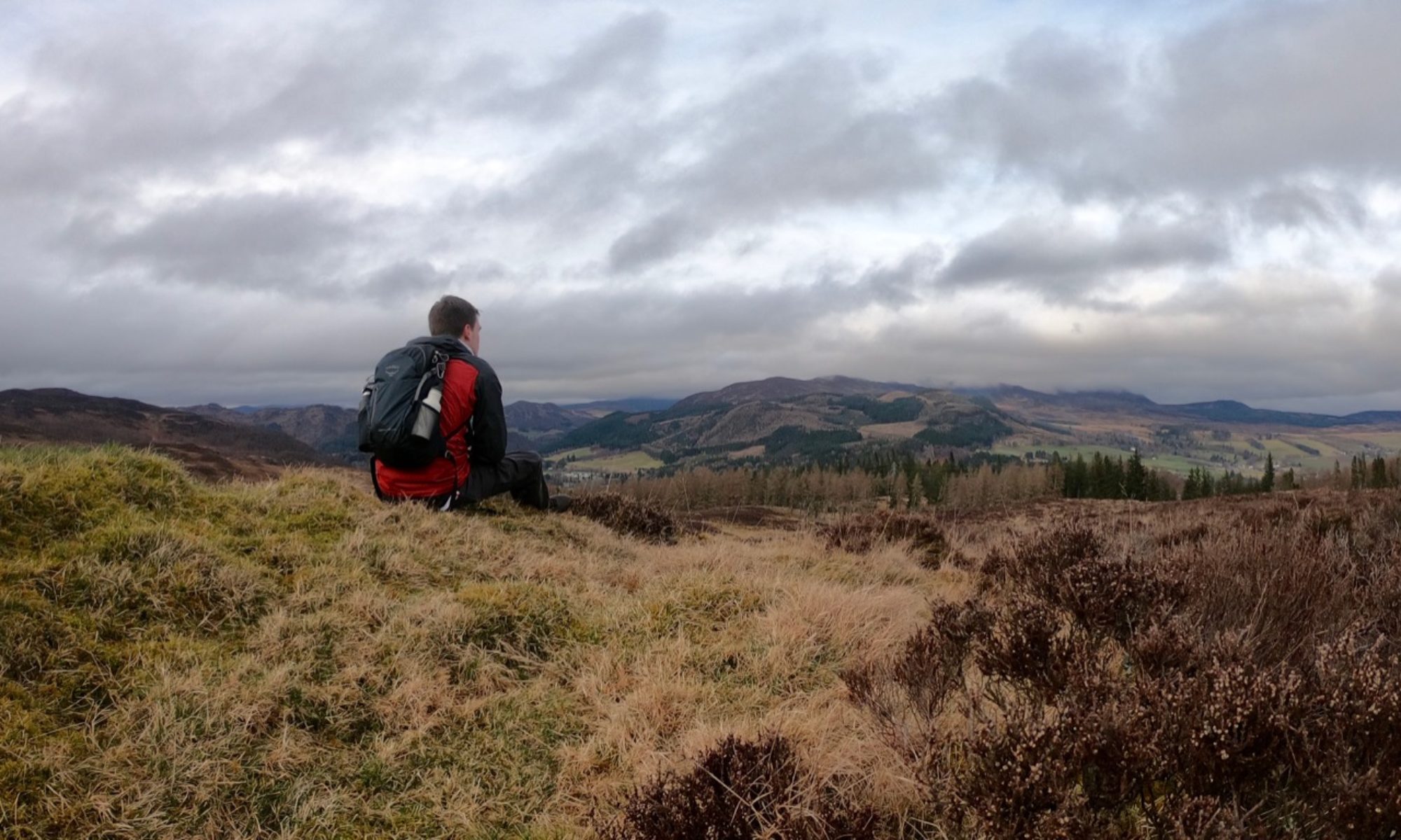
The path soon emerges from the trees, offering fine views of the woods and moorland that will be visited later. When the trees on your right end, bear left towards the buildings at Park House where a road is met. Follow this past some well-preserved lime kilns to arrive at the hamlet of Low Alwinton.

Arriving at the main road, turn left and cross the bridge over the Coquet. Take the second right, just before a sign for the Forestry Comission car park, signed for Harbottle Lake. The path climbs steadily here, offering fine views towards the foothills of the Cheviots near Alwinton. This is the historic heart of Northumberland’s illicit whisky trade, and many a path runs over the border from where a bottle or two of the water of life could be smuggled back to eagerly awaiting Englishmen.

The higher you climb, the better the path becomes underfoot. At the highest point, you will find a flagpole and a metal sign marking the edge of the Otterburn Ranges. The ranges have been used for live fire training by the Ministry of Defence since 1911, and dictate the access rights for a large area in the north-west of the National Park. Although this walk does not venture onto the ranges, care should be taken at all times – especially when a red flag is flying, which indicates that training is in progress.

Though the path continues on into the ranges, turn left and through a gate to enter West Wood. The path continues unquestioningly straight through the undulating woodland, following a line of old fenceposts that once marked a boundary.

At the opposite side of the wood, Harbottle Lake suddenly emerges in full view before you. The sight of this expanse of water, the result of millennia of glacial erosion, seems almost unexpected even when following a map.

Turn left and walk along the lakeside. You are now in the Harbottle Crags nature reserve. At the end of the lake, bear left and cross a stile. The path climbs gently here to reach a large rock clinging to the hillside above. This is the Drake Stone, a solitary 30 ft high block of sandstone left by a glacier during the last Ice Age.

Originally known as the Dragon Stone, the Drake Stone was reputedly used in druidic rituals and is said to possess healing powers – children who touch the stone are said to be cured of whatever ails them. More ominously, workers attempting to drain the lake were warned off when a voice boomed from the stone threatening to flood the villages below if they dared to continue, and those who spend the night there are said to find themselves unable to leave in the morning.

We, however, won’t be spending the night and so will have no problem continuing on our journey – unless of course you can’t tear yourself away from the breathtaking views of the Coquet valley. The path winds its way downhill through the heather, passing a small cairn on your right. The path bears left and through a gate to re-enter the West Wood for a brief period before rejoining the road at the Forestry Commission car park. Follow the road to the right to return to Harbottle.