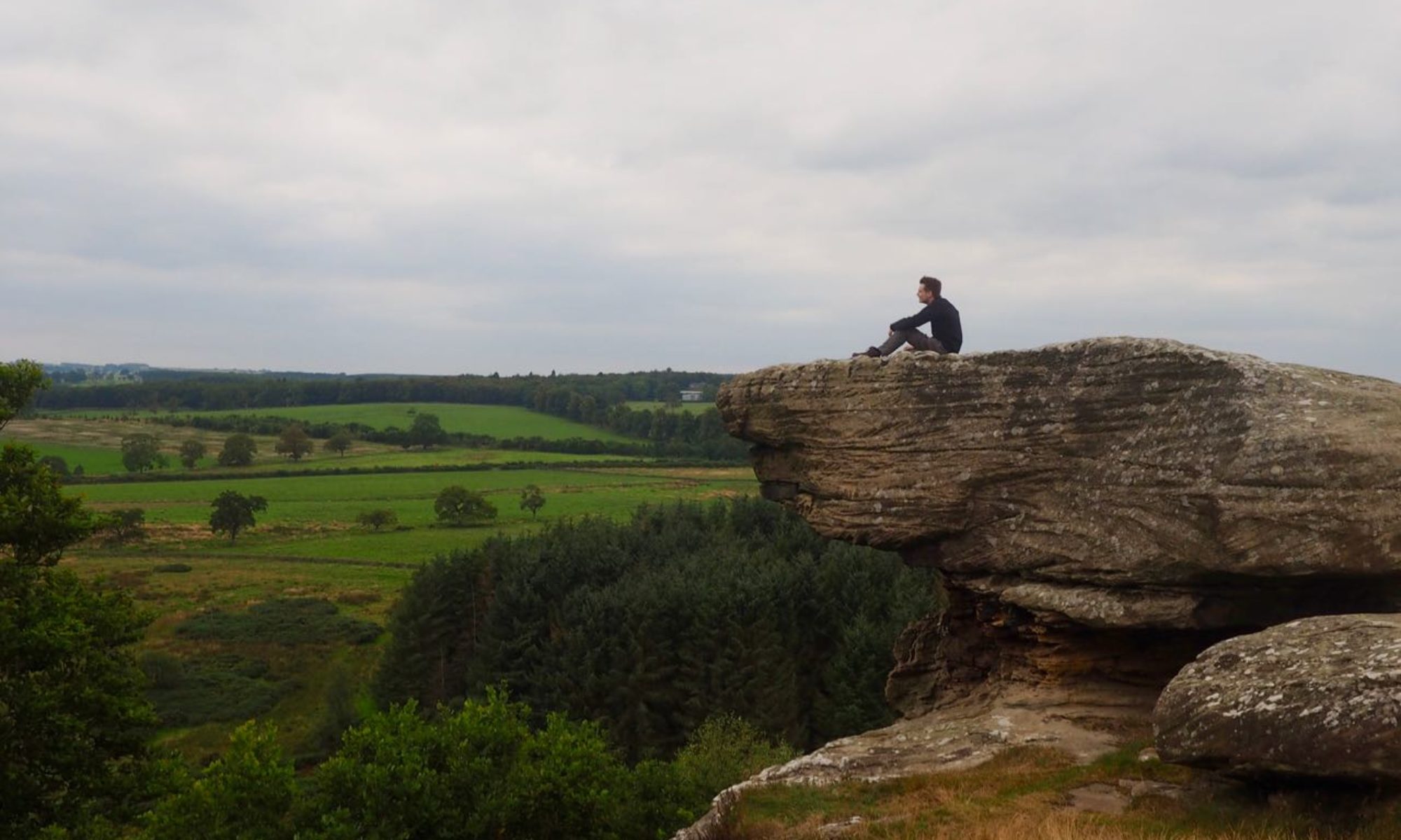

The opening of the Borders Railway in 2015 may have restored rail service to the south-east of Scotland, yet a vast number of towns and villages were once connected on a multitude of lines that have long since vanished. One of these was the Peebles Railway, a section of which is now a multi-use path along the banks of the Tweed.
Distance: 9 ½ miles
Time: 3 ½ hours
Access: Bus 62 between Edinburgh and Galashiels stops at Walkerburn, Innerleithen, Cardrona and Peebles.
The Galashiels, Innerleithen and Peebles Railway opened in 1864, connecting the existing Peebles Railway to the Waverley Line. By 1969, however, there were no rail links left with the Borders – all lines and stations having been closed as part of the infamous Beeching cuts.
From Walkerburn, there are two options to follow the Tweed to Innerleithen. The first of these, on the southern bank following more closely the line of the former railway, is the route that this walk will follow. However, a recently opened tarmac path on the north bank provides a more accessible route – to reach this, from Caberston Road head down a lane beside the primary school and through a wooden gate. This rejoins the walk at the Haughhead viaduct.
Landowners had much influence on the building of the railways, and this line was no exception. While the rest of the line follows the north bank of the river, the owner of the land between Walkerburn and Innerleithen refused to allow the route to pass through his property. Continue down Caberston Road and to reach a bridge across the river, and once on the south bank turn right through a field gate. Though the true course of the railway line ran by the nearby road, the path follows the riverside at this point. Ignore the stile across the fence on your right and continue onward, passing a cauld.

As you walk past a small island in the river, a gate on your left leads onto a narrow path to avoid a very muddy area used to keep horses. Pass through several more gates in quick succession before returning to the riverside.

At a stream, head left towards the farm buildings then join a level path following the course of the railway. Cross the river at the Category B listed Haughhead viaduct to return to the north bank of the Tweed.

Continue straight along the path until meeting a road at an electrical substation. Continue for a short distance on Princes Street, then turn left and cross a footbridge over the Leithen water, passing between two houses to join Leithen Crescent. Turn right and follow the street up to the centre of Innerleithen.
When you reach the main road, turn left and head along the pavement until you Traquair Road at St James’ Church. Approximately 300m along Traquair Road, the railway line is met again to your right at the site of Innerleithen station. Opened in 1864, the station and nearby goods yard served both the town and the nearby Waverley Mills. After nearly a century, the station was closed in 1962 when it was deemed economically unviable. Continue along the path, passing the site of food stores built for use during the war, and through a five-bar gate. From here the path follows the course of the river.

A cottage by the side of the path was once used by railway maintenance workers, and marks the site of a special stop on the line. When the line was being built, one of the conditions imposed on construction by the local landowner – Peebles born publisher and Provost of Edinburgh William Chambers – required a private stop be built so that he and his guests could board and disembark as they pleased.
Proceed along the river, then cross the wooden footbridge at the site of the former Woodend Viaduct. The path here enters the vast golf course at Cardrona, but pass between the remains of a bridge on your left, then head right to pass a sewage works and head into the village itself.

Although the area of Cardrona has a long history, the modern village emerged in the late 1990s. Nearby Cardrona Forest offers a peaceful walk with various sites to see.
Follow the road through the centre of the village until arriving at a roundabout by a bridge. At the time of writing the footpath is blocked by work, so head along a path to the right to join the golf course once more and pass beneath the road bridge and rejoin the course of the railway at another footbridge. The line continues through the golf course for some distance. Ahead to your right sits the ruin of Horsbrugh castle (sometimes more spelt the more conventional Horsburgh) atop the site of an Iron Age hill fort.

After passing the castle, enter Eshiels community woodland. The trees here were felled in the early 2000s to make way for the nearby recycling centre, but the current woods were planted by the local Scouts along with other volunteers.

At the far end of the woodland, head left and then right to pass around another sewage works and reach a tunnel under the road, signed “Peebles via Janet’s Brae”.
Once on the other side of the road, the path skirts the woodland edge to arrive in Peebles. Upon meeting a road, turn left to reach Innerleithen Road, then turn right. After a distance, a large white boulder can be seen in the wall by the roadside. This is known as The White Stone, and plays an important role in local traditions including being seen as an old “border” of the town where visitors were welcomed.

Follow the road into the centre of Peebles to reach the end of the walk. Little evidence remains of the railway in Peebles – both the original station built in 1855 and subsequent larger station of 1864 have been demolished and built over.
