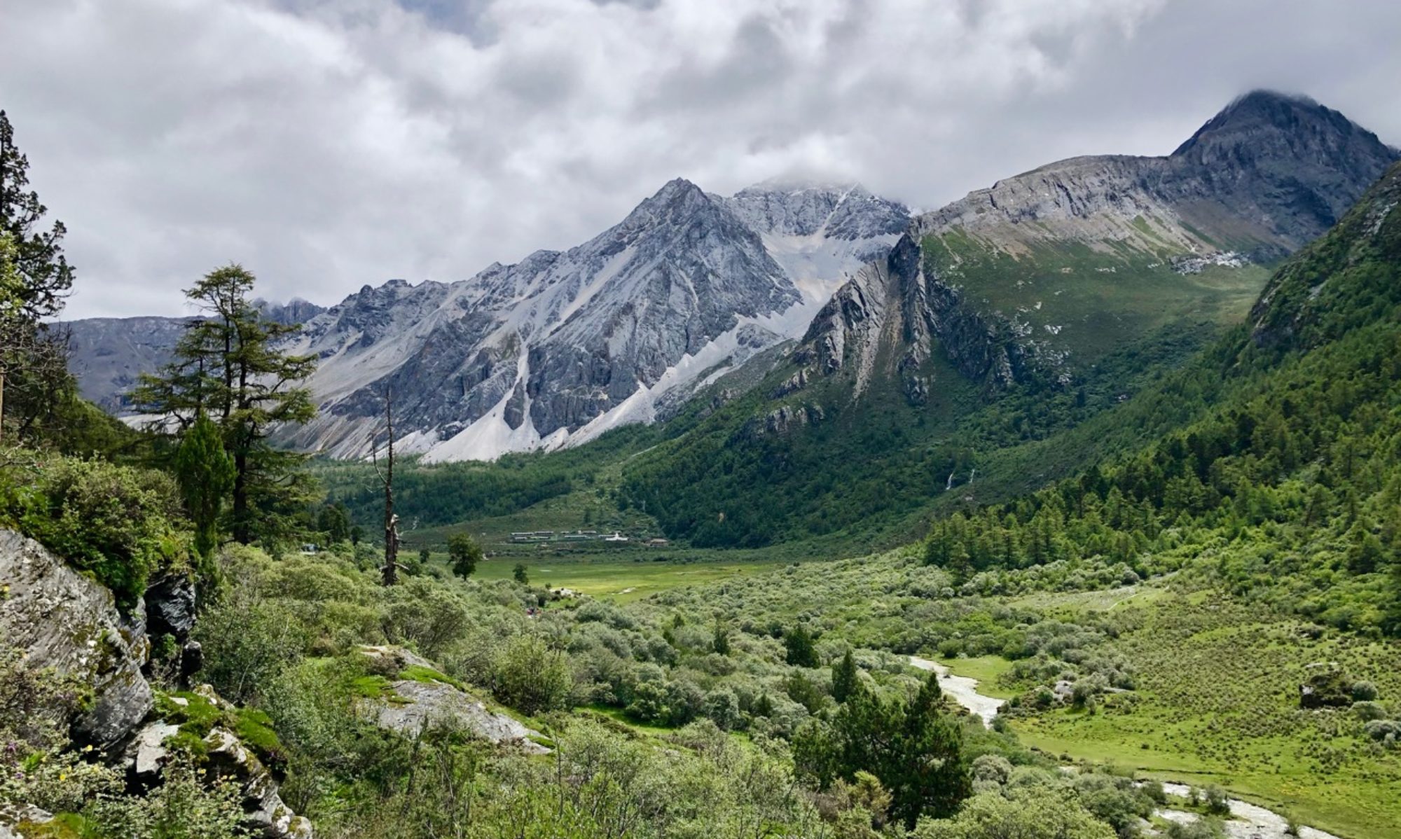
A cairn built by the devil, two brothers on a hilltop, and a gamekeeper’s treasure are but some of the sights on this walk in the Lammermuirs.
Distance: 17 miles
Time: 7 hours
Nestled deep in the Lammermuir hills, the village of Longformacus is a perfect starting place for a walk. From its old stone bridge and pretty houses, I set off along the road following signs for Horseupcleuch via Dye Water until I reached a junction just before Glebe cottage. After skirting the edge of the woodland, arrowed markers pointed the way across the open country until I approached the Dye Water. The path here winds its way along the river, rising and falling as it goes.
After crossing the small stream known as the Easter Water, I left the riverside path and headed towards the buildings at Horseupcleugh farm for some spectacular views along the valley.

Upon reaching the minor road, I headed to the left and followed it for about 3.7km. Although the road is quiet, I met a fair number of farm vehicles and lorries delivering goods to the remote steadings further into the hills. After a little while, the clouds that had covered the morning sky began to part – hopefully a good sign for day ahead! After passing a substantial bridge across the Dye water at Byrecleugh, I continued uphill along one of the access roads to the Fallago Rig wind farm. After about a kilometre, a track juts off to the right. This leads steadily uphill until a large pile of stones emerges off to the right.

The Mutiny Stones, despite their name, have nothing to do with rebellion or insubordination. The name is a corruption of “mittenfull of stones” – supposedly they were dropped on the hillside by the devil himself. This later became “Meeting stones” and later “Mutiny stones”. In reality, the stones are part of a fine example of a Long Cairn dated to 3,000 BC. Over the years, some of the stones were reclaimed and used for a variety of walls and structures in the area, but it still makes for a perfect spot for lunch!

Retracing my steps back down to the bridge, I crossed it and proceeded uphill along the road past a series of grouse butts until I reached a small cairn marked “J.O.H. 1994” at the roadside. I’m still none the wiser as to who (or what) J.O.H. may have been, but after stopping a moment I turned right and headed into the heather.

The path here is fairly clear, but can be boggy in places. After a short while, I reached a much larger cairn marking the summit of Dunside Hill. From the cairn, the path becomes much harder to follow – aim for the fence to the west of the cairn, and follow it along for some distance.

The ground here becomes rougher still, and I nearly lost a boot to the bog on more than one occasion, but after crossing the nascent Watch Water the path rises up to meet the Southern Upland Way near a place marked on maps as Rutherford’s Cairn. At this point I climbed the fence, only to discover that there was a gate a little further along, but the choice is yours. Heading east along the Southern Upland Way, I soon reached at the next sight of the day – the “Twa Brithers” of Twin Law.

Scots for “Two Brothers”, the tale of these large cairns is quite poetic. Two brothers, separated in childhood, were members of opposing armies in a battle between the warring Scots and Saxons. Both brothers lost their lives in the Battle of Twinlaw. When their relationship was discovered they were buried on the hill as a mark of respect, their graves marked by two large cairns.
“And they biggit twa cairns on the heather
They biggit them round and high
And they stand on the Twin Law hill
Where they twa brithers lie”
(Inscription on a plaque near the cairns)
The cairns were used for target practice during the Second World War, but were rebuilt in the post-war years and now boast small alcoves with seats from which you can sit and take in the fantastic views across the Borders countryside. Whilst sitting there, several military aircraft flew overhead – luckily for me they weren’t practicing their aim!

From here the route follows the Southern Upland Way down from top of Twin Law and on to the road left at the J.O.H. cairn earlier in the afternoon. After crossing the small bridge over the Watch Water at Twinlaw Ford, there stands a small memorial stone known as Dippie’s Well. A message on the stone informed me that “there is no water on the Lammermuirs sweeter than at John Dippie’s well.” Supposedly this is where John Dippie, the gamekeeper, would stash his whisky, so it might not have been the water that was the most sweet!

After Dippie’s well the Southern Upland Way continues past Scarlaw farm towards the Watch Water reservoir. The road passes around the reservoir and continues all the way back to the bridge at Longformacus.


